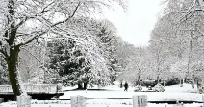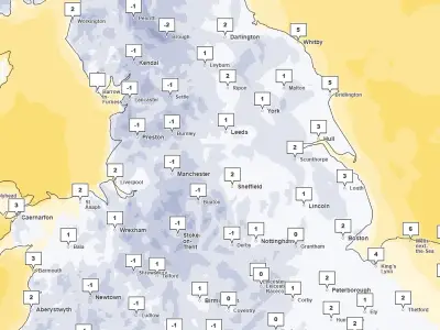
The Met Office has issued a yellow weather warning for snow across 18 UK areas on Tuesday, November 17, as meteorologists warn that the polar vortex is weakening unusually early this year.
The polar vortex is a ring of strong winds high above the Arctic that helps keep extremely cold air trapped around the North Pole. When these winds weaken or become disturbed, cold air can move further south, sometimes bringing freezing conditions and heavy snow to parts of Europe, including the UK.
Adam Scaife, the head of long-range prediction at the Met Office, has said there have been cases of the polar vortex collapsing in November before, but never this early in the month.
Snow forecast for Tuesday
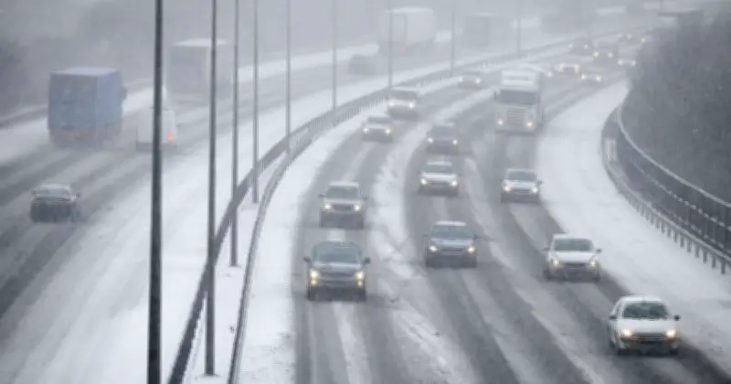
The forecaster said snow could cause travel problems over higher ground during the early hours of Tuesday, with some roads and railway lines likely to be affected. A band of rain is expected to move north across Britain overnight on Monday and into Tuesday morning, turning to snow as it reaches colder air.
The Met Office said snow is most likely in areas around 100 to 200 metres above sea level or higher, while any snow falling on lower ground is expected to melt quickly. Where snow settles, between 1cm and 5cm is expected, although places above 300 to 400 metres could see between 5cm and 15cm.
Strong easterly winds could also cause snow to drift in some places, making driving conditions more difficult. There is also a small chance of power cuts or problems with mobile phone services, while ice could build up on power lines.
Impact and advice
Snow is expected to gradually turn back to rain during Tuesday morning, although some areas could then see minor problems caused by surface water.
Drivers are being urged to allow extra time for journeys, check for road closures and carry essentials such as warm clothing, food, water and a phone charger.
Meanwhile, experts say the disruption to the polar vortex could affect Britain's weather later in the winter, although other weather patterns will also play a part. Research suggests around two-thirds of sudden stratospheric warming events are followed by colder and drier conditions than normal across northern and northwestern Europe. However, this does not mean a severe winter is guaranteed.
Full list of 18 UK areas under the snow warning
The Met Office has named the following local authority areas in its yellow snow warning for Tuesday, November 17:
- Derbyshire
- Durham
- Northumberland
- Blackburn with Darwen
- Cheshire East
- Cumbria
- Greater Manchester
- Lancashire
- East Ayrshire
- South Ayrshire
- South Lanarkshire
- Dumfries and Galloway
- Midlothian
- Scottish Borders
- Staffordshire
- North Yorkshire
- South Yorkshire
- West Yorkshire