
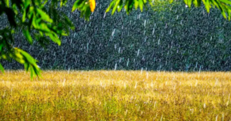
The Met Office has identified 17 areas across the UK that could experience heavy rain between Monday, August 17 and Wednesday, August 19. After more than a month without significant rainfall, several regions may finally see some substantial downpours.
Rainfall expected in northern and western areas
The heavier rain is mostly forecast for the north of England, the Midlands, Wales and Scotland. London and the South are expected to receive little rain. Areas such as Liverpool, Stoke, Aberystwyth and York could see very heavy downpours, with rainfall maps turning yellow and orange, indicating between 4mm and 16mm of rain – more than the entire last month combined.
The Met Office urged caution in its predictions, noting the difficulty in confirming rain forecasts recently. It stated: "Even if the rain does arrive as currently expected, it is unlikely to provide a complete solution to drought concerns. Much of the rainfall is expected to move through relatively quickly, and some of it may simply run off very dry ground rather than being fully absorbed. What many areas need is prolonged, persistent rainfall rather than short-lived showers or brief frontal systems."
Detailed forecast for affected areas
Aberystwyth in North Wales is set to see heavy rain at around 10pm on Tuesday. Londonderry (Derry) in Northern Ireland will experience heavy downpours on Monday at about 4pm, spreading across much of the constituent British nation in the following days. Liverpool will see heavy rain at around 1am on Wednesday, August 19.
Burnley in Lancashire will see heavy rain at around 4am on Wednesday. Scattered showers will also affect other areas at the same time, including Settle in North Yorkshire and Buxton in Derbyshire.
The rainfall may provide some relief to drought-affected areas, but the Met Office's warning suggests it may not be enough to fully address water shortages.




