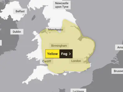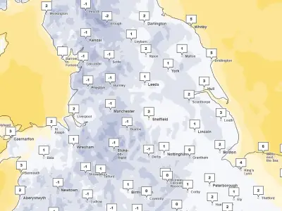
The Met Office has issued a yellow warning for ice covering 23 areas across Scotland and parts of northern England as an Arctic blast brings cold northerly air southwards. The warning comes into effect at 6am and runs until 10am on Monday, with temperatures expected to fall below freezing.
Warning details and affected regions
The warning covers most of Scotland as well as a large part of northern England. The Met Office forecast states: "An area of rain and hill snow (snow mainly above 200 m but not expected to be impactful) will clear to the southeast tonight with skies then at least partially clearing."
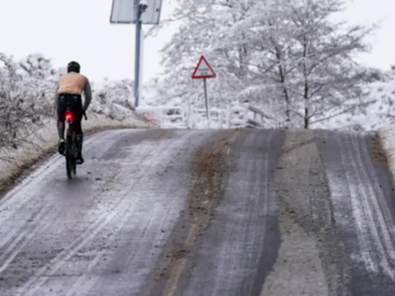
"This will result in temperatures falling below freezing and some icy stretches developing on untreated surfaces. This is likely to lead to difficult driving conditions. These conditions will probably not develop across northern England and southeast Scotland until the end of the night."
Snow accumulations and impact
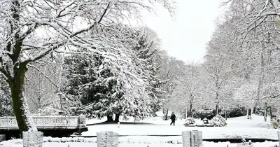
Across northern Scotland, icy conditions are likely to be made worse by some wintry showers, with snow falling to low levels for a time before becoming mainly confined to higher ground late in the night. No more than 1-2 cm is likely at lower levels, with higher ground perhaps seeing up to 4 or 5 cm from these wintry showers.
The 23 areas affected include Central, Tayside & Fife (Angus, Clackmannanshire, Dundee, Falkirk, Fife, Perth and Kinross, Stirling), Grampian (Aberdeen, Aberdeenshire, Moray), Highlands & Eilean Siar (Highland), North East England (Durham, Northumberland), North West England (Cumbria), Strathclyde (East Ayrshire, North Lanarkshire, South Lanarkshire), and SW Scotland, Lothian Borders (Dumfries and Galloway, East Lothian, Edinburgh, Midlothian Council, Scottish Borders, West Lothian).
This is a developing story. The cold snap is expected to last several days, with the warning in place until Monday morning.