
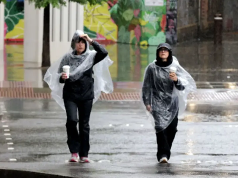
The Met Office has forecast that torrential rain and 'intense downpours' may batter Britain next week. The fifth heatwave of the summer has brought temperatures soaring to 36C, with scattered showers expected on Friday and Saturday, but substantial rainfall is not expected until next week – and even that remains uncertain.
Rain expected from Monday night
Forecasters indicated that 'current indications' point towards rain moving 'south eastwards across the country' sometime between Monday night and Tuesday morning. The Met Office states: "Current indications suggest rain could sweep south-eastwards across the country sometime between late Monday and Tuesday. Some heavier bursts are possible, with the potential for locally intense downpours along the leading weather front."
However, it has stressed that even this scenario isn't guaranteed, with the challenges of forecasting rainfall during this remarkably parched summer resulting in multiple false hopes for precipitation. It continues: "However, recent weeks have shown how difficult it can be to forecast rainfall far in advance. Several forecast systems have previously suggested wetter weather only for the rain to weaken or fail to materialise as expected. For that reason, confidence remains lower than for the temperature forecast."
Rain unlikely to solve drought
Regrettably, should rain materialise, it's not anticipated to alleviate the persistent drought conditions. It continues: "Even if the rain does arrive as currently expected, it is unlikely to provide a complete solution to drought concerns. Much of the rainfall is expected to move through relatively quickly, and some of it may simply run off very dry ground rather than being fully absorbed. What many areas need is prolonged, persistent rainfall rather than short-lived showers or brief frontal systems."
Thankfully, the extended outlook also appears more changeable, which may deliver additional downpours. It states: "As we move further into next week, uncertainty increases. Some forecast scenarios suggest high pressure could rebuild from the southwest, bringing further settled weather. Others indicate a more changeable pattern with low pressure systems bringing spells of rain, particularly to northwestern parts of the UK. The key difference compared with much of the summer is that weather patterns are becoming less settled and more variable. Rather than the persistent dominance of high pressure seen in recent months, there is now a broader range of possible outcomes."




