
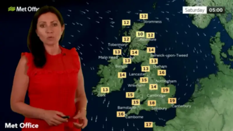
The Met Office has warned that thunderstorms are expected to break out across the country on Saturday morning, following this week's heatwave which brought the hottest day of the year so far. Some much-needed rain is forecast for today and Saturday, particularly in central and south-eastern parts of England, both among the many areas in drought after recent hot spells.
Thundery downpours on Saturday morning
In this morning's Met Office video weather forecast, meteorologist Clare Nasir explained how thundery downpours could come early on Saturday morning. She said: “As the cloud slips down towards the south-east, these thundery downpours will be sporadic, and they will tend to ease through Saturday.”
“As we head through the day on Saturday, a mix of cloud and sunshine. Notice first thing again one or two heavier downpours could be possible and again with the risk of thunder here.”
Counties at risk
The Met Office maps show heavier rain falling in south-east and eastern parts of England on Saturday morning. In total, 12 counties could face the thundery rain: Lincolnshire, Nottinghamshire, Norfolk, Suffolk, Essex, Hertfordshire, Surrey, Kent, Sussex, Hampshire, Berkshire, and Buckinghamshire.
Rain next week
Rain is also on the cards next week, with northern parts of England, Scotland and Northern Ireland all in the firing line. Met Office Deputy Chief Forecaster Steven Keates said: “A front moving south eastwards across the UK on Monday and Tuesday could bring northern areas some rain but amounts of rain in the south will be small at most and the majority will fall over Northern Ireland and Scotland.”
“The next meaningful rain forecast for these very dry areas could be towards the end of next week as an area of low pressure influences our weather from the southwest. The detail on this will become clearer over the coming days, so stay up to date with the forecast.”




