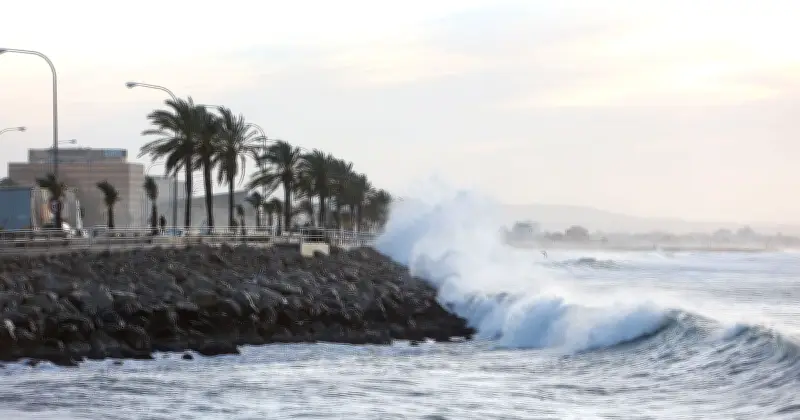
Hurricane-force winds tore through the Balearic Islands overnight, with gusts at Menorca Airport peaking at 121 kilometres per hour in the early hours of Friday. That figure sits just above the 119 km/h threshold that officially elevates a tropical storm to hurricane status, according to standard meteorological definitions.
Tourists and residents woke to scenes of scattered debris, flooded roads and battered coastal areas across the archipelago that includes Mallorca, Menorca, Ibiza and Formentera.
Storm brings torrential rain and plunging temperatures
The storm, which had been building through Thursday night, combined the extreme gusts with torrential downpours, reported the Menorca Daily Bulletin. Rainfall intensity reached seven litres per square metre in just 10 minutes in places, while temperatures plunged by almost 10 degrees in a matter of hours.

In Menorca, further gusts of 85 km/h were logged in Es Mercadal, with readings still exceeding 90 km/h at the airport. On neighbouring Mallorca, Porreres recorded 99 km/h, Cabrera 95 km/h, and several resorts popular with British visitors – including Son Servera, Manacor, Llucmajor and Puerto Sóller – saw sustained blasts of 70 to 76 km/h.
Damage and warnings across the islands
Rain totals for the episode included 13 litres at Menorca Airport, 11 litres in Porreres and eight litres in Sant Antoni. Civil Protection authorities had already issued warnings urging people to stay indoors and avoid driving through flooded sections.
Separate reports noted more than 70 weather-related incidents across the islands and significant damage to yachts in the Calvià area of Mallorca. Details of the extreme winds and rainfall were first reported by the Majorca Daily Bulletin, citing data from Spain’s State Meteorological Agency (Aemet) obtained via Europa Press.
Forecast: clearing skies but lingering showers
Saturday was expected to bring lingering cloud and further showers, particularly in the south of the archipelago. A yellow rainfall warning remained in force for Ibiza and Formentera into the morning, covering the possibility of 20 litres per square metre falling in a single hour.
Skies were forecast to clear during the afternoon, with temperatures holding steady or dipping slightly to maxima of 31–34 °C and minima of 20–24 °C. Sunday promised more settled conditions, largely clear skies and temperatures either stable or rising a little further, with highs of 31–35 °C. Occasional showers and thunderstorms could return on Monday, possibly bringing mud.
Beyond that, models pointed to a gradual climb in temperatures through the week, potentially reaching 37 °C in some locations. Officials noted that the islands are still running warmer than the long-term average for late August, a pattern expected to persist into September before easing.
Emergency services continued to clear residual flooding and assess damage as the worst of the storm moved on. For the thousands of British visitors currently on the islands, the message was clear: the paradise that usually delivers sunshine and calm seas had just demonstrated its capacity for sudden, violent weather.