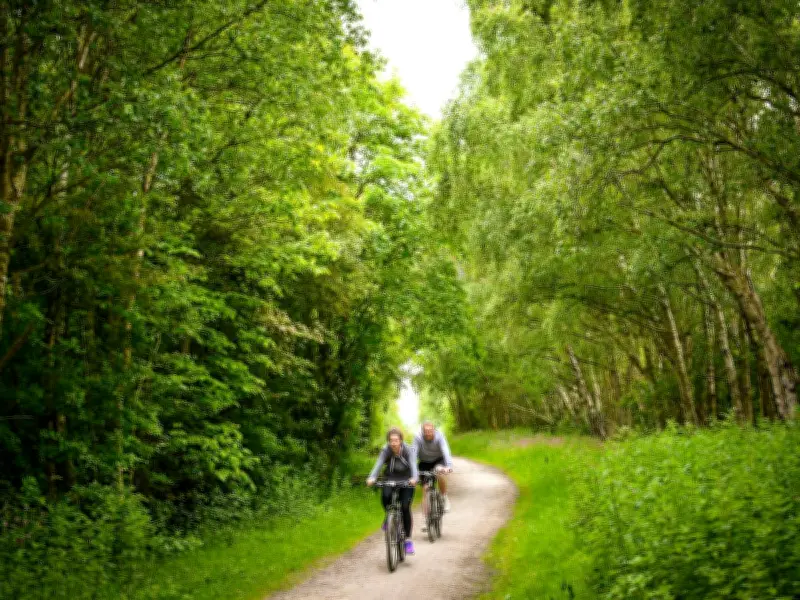
The Trans Pennine Trail, Liverpool's longest walking route, stretches an astonishing 215 miles from Southport in the west to Hornsea in the east. For the average person, completing the entire trail in one go is nearly impossible, but it offers numerous entry points for shorter walks.
Trail Features and Accessibility
According to the trail's official mapping, more than 70% of the route is traffic-free, providing ample space for walkers, runners, and cyclists. There are also separate paths for horse riders. The trail links converted railway lines, canal towpaths, riverbanks, bridleways, and quiet country roads, serving as both a recreational route and a wildlife corridor.
Merseyside Section Highlights
Starting from the Southport seamark, the trail runs along the coast past Royal Birkdale Golf Club and Coastal Road, then through countryside pathways near Formby. It continues past Great Altcar and Maghull into Jubilee Woods. The route becomes more urbanised through Walton but stays on country lanes to avoid city congestion. It wraps around Aintree Racecourse and Rice Lane Recreation Ground before joining the Liverpool Loop Line.
From Childwall, a detour leads into Liverpool city centre. Otherwise, the trail passes Penny Lane and winds through Sefton Park and Princes Park. At the southern end, it heads to the village of Hale, offering views across the Mersey Estuary before leaving the region.
History and Development
First developed in the 1980s through a partnership of 26 local authorities, the Trans Pennine Trail has become a key section of the National Cycle Network. It provides a journey through the region's geography and history while offering a wildlife escape.