
A handful of schools across the UK remain closed in the aftermath of Storm Chandra, which caused transport disruption and nearly 100 flood warnings. Two schools remain closed in Dorset and another in Somerset due to adverse weather. While over 350 schools in Northern Ireland had been closed for the last two days, local councils have confirmed they are all open on Thursday.
A yellow rain alert is in place from 12pm on Thursday until 3am on Friday for parts of south-east and south-west England. A separate yellow warning for Northern Ireland on Friday is forecast to bring “spells of heavy rain leading to some transport disruption and flooding in places”. On Thursday morning, there were 76 flood warnings, where flooding is expected, and 180 flood alerts, where it is possible, across England.
In a statement on Somerset Council, the school said that recent bad weather had caused flooding in the premises, and would remain closed until 2 February. The Met Office said a band of rain would arrive across Cornwall on Thursday afternoon, then move northeast across the south west of England before clearing early on Friday. “The rain is only likely to last for a few hours in any one location but will be heavy at times,” a spokesperson said.

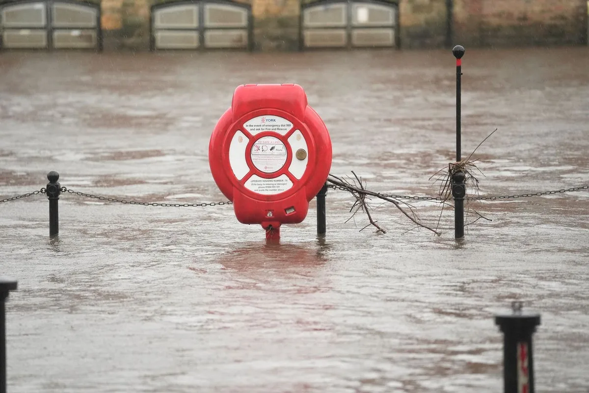
A severe flood warning, meaning a danger to life, remained in place for the Lower Stour at Iford Bridge Home Park, where residents were told to evacuate their properties “as soon as possible”. In Somerset, the council has warned that the risk of flooding on the Somerset Levels and Moors “remains high as rainwater moves through the system”. National Rail has also warned that disruption is expected until Friday, with trains cancelled across Devon, including to Exeter St Davids, while speed restrictions are also in place across Scotland.
Matthew Lehnert, chief meteorologist at the Met Office, said: “On Thursday, showers in southwest England will be replaced by a more organised area of rain when the next system reaches the south of Cornwall around Thursday lunchtime. There’s a Yellow Warning for rain in place from noon until Friday morning, with the focus for heavier rain across southwest England as the wet conditions spread northeast across the warning area.” He added that the rain would fall onto already saturated ground, compounding the impacts of Storm Chandra.


