
Weather authorities are closely monitoring Tropical Storm Melissa as it gains momentum and poses a significant threat to United States coastal areas. The storm system, currently churning in the Atlantic, is expected to bring dangerous conditions to several regions.
Current Storm Position and Projected Path
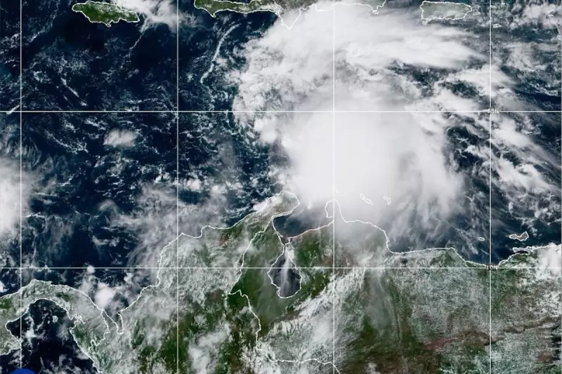
According to the latest meteorological data, Melissa continues to strengthen while moving northwestward. Satellite imagery shows the storm organising with increased convection around its centre, indicating potential further intensification.
Forecast models suggest the storm will maintain tropical storm strength as it approaches land, though some uncertainty remains about its exact trajectory and potential for strengthening.

Expected Impacts and Warnings
Residents in potentially affected areas should prepare for:
- Heavy rainfall exceeding 6-8 inches in some locations
- Coastal flooding during high tide cycles
- Strong winds capable of causing power outages
- Dangerous surf conditions and rip currents
Emergency management officials have urged coastal communities to review evacuation plans and prepare emergency kits containing essential supplies for at least 72 hours.
Precautionary Measures Advised
Meteorologists emphasise that even if Melissa doesn't reach hurricane strength, the torrential rains and storm surge could create life-threatening situations. Residents should:
- Secure outdoor furniture and loose objects
- Monitor official weather updates regularly
- Follow evacuation orders if issued by local authorities
- Avoid driving through flooded roadways
The National Hurricane Center continues to provide regular updates as the situation develops, with the next comprehensive advisory expected within hours.


