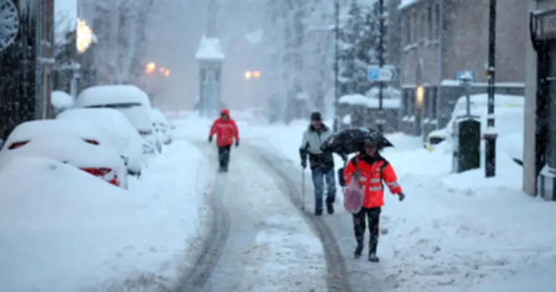
New weather maps suggest parts of England could see snow next week, with up to 6cm potentially settling in some areas. The latest WXCharts predictions indicate a band of wintry conditions stretching across the country on Tuesday, November 17.
Nine English Counties in the Snow Zone
The snow-depth chart, valid for midday on Tuesday, shows patches of white and pale blue shading across parts of Wales and western and southern England. Nine English counties could be affected: Herefordshire, Worcestershire, Gloucestershire, Oxfordshire, Somerset, Wiltshire, Berkshire, Hampshire, and Devon.
The maps do not suggest that every part of these counties will see snow, with some areas potentially missing out altogether. The chart shows how much snow could be lying on the ground by midday, rather than how much is expected to fall during the day itself.
Scotland Could See Higher Totals
Meanwhile, Scotland could see some of the highest snow totals shown on the maps. Parts of the Scottish Highlands are covered by a much larger patch of white and blue shading, with some locations showing snow depths of around 6cm to 11cm.
There are also signs of wintry weather further north in England, although the maps are less clear about whether significant snow will settle in these areas. The charts are computer model predictions, meaning the exact areas affected could change as the date gets closer.
Met Office Outlook
The Met Office has warned that the UK is heading towards a more unsettled spell of weather, with rain and windy conditions expected in parts of the country. In its long-range forecast covering Tuesday, November 17, to Thursday, November 26, the forecaster said: "A gradual transition to more changeable conditions is expected at the start of the period."
"This will allow areas of low pressure to move in from the Atlantic and bring occasional bands of rain and periods of windy weather, however these look to be more focussed across southern areas, at least initially," the Met Office added. "Whereas northern areas are likely to remain in the colder, but generally drier and brighter conditions, for a little longer."
The Met Office also expects much of the country to experience wetter-than-average weather during the period, although temperatures will not necessarily remain cold. It added: "Overall, this period is likely to be wetter than average for the majority of the country. And whilst colder conditions will be possible at times, it will often be mild, with temperatures near or a little above average for the time of year, particularly in the south."