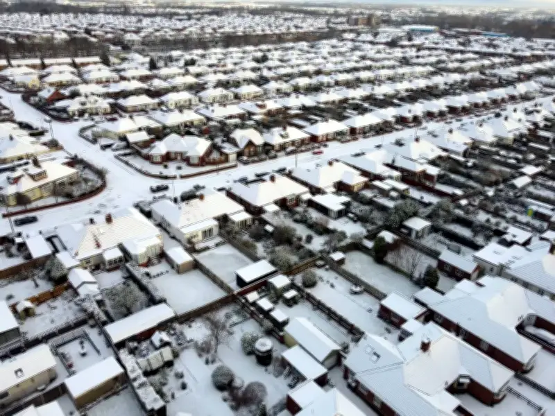
The Met Office has forecast that up to 10cm of snow could fall in parts of the UK this weekend, as the season's first cold snap tightens its grip on the nation.
The greatest snow risk will emerge across northern Scotland on Saturday night (14 November) into Sunday (15 November), as incoming rain meets the freezing air already sitting over the area.
Snowfall expected over higher ground
While some snow may briefly reach lower altitudes, the heaviest falls are expected over higher ground. Forecasters suggest around 2cm is likely above 200 metres, with several centimetres building over elevated routes and between 5cm and 10cm potentially piling up over the hilltops.
Ahead of the wintry weekend weather, the UK Health Security Agency (UKHSA) has issued its first yellow cold health alert of the season. The alert covers the North West and the West Midlands from 9am on Thursday (12 November) until noon on Saturday.
Cold health alert issued
Dr Anya Gopfert, consultant in public health at UKHSA, said: "This is the first cold-health alert of the winter, but we can expect more as we move further into the season. Cold weather can have a serious impact on the health of some people, including those aged 65 and over and those with pre-existing health conditions, so it is vital to check in on friends, family and neighbours who are most vulnerable."
The alert warns the temperature plunge could lead to mounting pressure on healthcare services and pose a greater risk to life for vulnerable people. Other parts of England remain unaffected.
Weekend and next week's outlook
Weather patterns are expected to turn progressively more turbulent throughout the weekend. On Saturday, large parts of the Midlands, eastern and south-eastern England will start dry, bright and frosty, while rainfall becomes widespread throughout northern and central Scotland. Additional downpours will affect northern England and north Wales.
On Sunday, snowfall in northern Scotland will steadily transition into lower-level rainfall, while cloud and sporadic rain extends into western regions and Northern Ireland. As much as 30mm of precipitation could fall widely during the day, especially in the west, while England and Wales stay mostly dry but progressively more cloudy.
Forecasters believe snow could hit the UK next week on Monday morning (16 November) at around 9am, and intermittent flurries will extend to Tuesday (17 November) afternoon. Sub-zero temperatures are expected to freeze the country as the winter weather appears set to stick around.
However, making an accurate prediction on snow can be difficult as the slightest change in the conditions can prevent it falling. The Met Office has added northern Scotland has the greatest chance of seeing a white Monday.
Early on Friday the Met Office stated: "Unsettled with spells of rain or showers Sunday and Monday. Rain in the south on Tuesday, with some hill snow possible. Brighter with showers elsewhere. Often windy and feeling cold."
Forecasters have warned 47 counties are set to be battered with snow next week, including areas across Scotland, Wales and England.