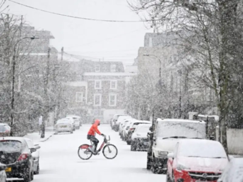
Snow could hit numerous counties across the UK next week as temperatures plunge over the weekend. The UK's Health Security Agency has issued cold health warnings across northern England lasting until Monday morning.
Forecast Temperatures and Cold Health Warnings
Temperatures could tumble to -5C in England later, stretching from the Midlands northwards. It's across rural Scotland where -10C is on the cards, though southern regions of Britain will be bitterly cold as well with -1C anticipated.
Autumn's coldest night to date was Thursday evening, when -8.4C was logged at Tulloch Bridge, Highland, but that record looks set to be shattered tonight. November's coldest night on record occurred in 1912, when -16.1C was registered in Cumbria.
Weather Models Predict Snowfall Next Week
Temperature anomaly charts for the small hours of Saturday morning depict the UK shaded in zones of deep blue and purple, signifying where temperatures are forecast to plunge considerably beneath the average for this period of the year.
The GFS weather model yesterday indicated snowfall in parts of England and Scotland on Tuesday and Wednesday. Now, the ECMWF weather model also shows snow falling across a similar period next week, with up to 9cm (3.5 inches) possibly settling on the ground in more elevated areas.
Snowfall Details and Affected Counties
The charts reveal a weather front sweeping in from the west at around 6pm on Tuesday, initially bringing rainfall to the south-west of England and Wales. This precipitation could turn to snow across northern parts of England and Scotland, according to the model.
By 9pm on Tuesday, the maps show the snow having pushed eastwards towards the Midlands, potentially affecting areas including Staffordshire and Derbyshire. Where flurries are at their heaviest - in rural locations and over Scottish hillsides, the data suggests snow could descend at a rate of around 4cm per hour.
Snow coverage charts for 6am on Wednesday show settled snow stretching from the East Midlands all the way up to northern Scotland. As much as 9cm is on the cards in the Cairngorms National Park, while the Yorkshire Dales could see up to 5cm.
The ECMWF weather model suggests 31 counties could see some snow on Tuesday. They are all in central England, northern England or Scotland.
Met Office Comment on the Cold Snap
Met Office meteorologist Clare Nasir said: "It will turn a lot colder as we head through into the weekend. Through this evening and overnight any residual spits and spots of rain will tend to clear as we see starry skies evolve and that frost extends southwards through the night."
"And further south yes, we're expecting some sub-zero temperatures. A cold end tonight, even some freeze and fog patches, particularly across central, southern areas and in Northern Ireland."
The wintry weather looks set to persist into next week as well, with the affected counties spanning England and Scotland.