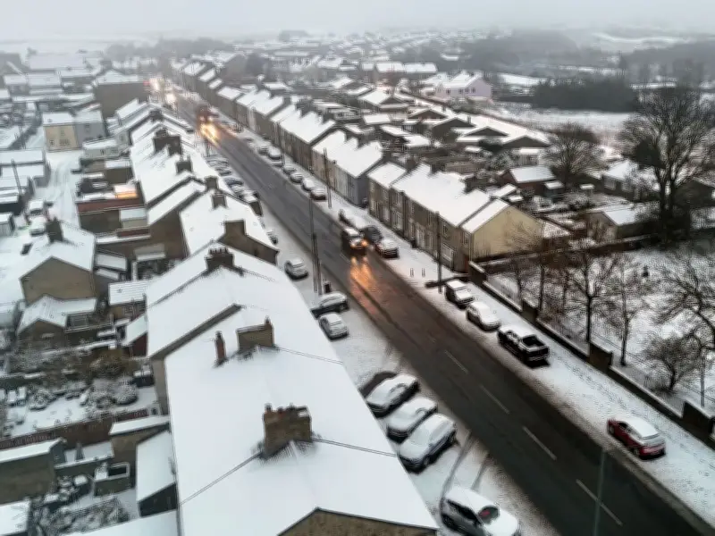
Weather maps indicate that parts of the North East could receive more snow next week, following snowfall in areas of County Durham and Northumberland on Tuesday.
A yellow cold health alert is in force in the region until 9am on Monday. The Met Office predicts a chilly weekend, with temperatures dropping to -5C in some locations.
Snow Expected Tuesday Night
Further snowfall is possible on the night of Tuesday, November 24, continuing into the early hours of Wednesday, November 25. The areas most affected are towards the west of the North East, covering parts of County Durham and Northumberland, such as Stanhope and Middleton-in-Teesdale.
WXCharts forecasts up to two inches of snow in that part of the region on Tuesday, November 24. While a smaller area receives snowfall during the day, the band increases to cover more of County Durham, around Middleton-in-Teesdale, from 9pm onwards. By midnight, more area is covered and snow remains until at least 3am before gradually disappearing on Wednesday.
Cold Weekend Ahead
Looking at the UK this weekend, meteorologist Clare Nasir said: "It will turn a lot colder as we head through into the weekend. Through this evening and overnight any residual spits and spots of rain will tend to clear as we see starry skies evolve and that frost extends southwards through the night."
"It will be severe in the north, so we could see temperatures as low as around minus 8C, minus 9C in one or two glens. And further south yes, we're expecting some sub-zero temperatures. A cold end tonight, even some freeze and fog patches, particularly across central, southern areas and in Northern Ireland."
For most, Saturday will be dry with some sunshine. The Met Office says there's a potential for rain and hill snow in the North East on Tuesday, as outlined above with WXCharts.
North East Weather Forecast
Friday: A cold, partly cloudy start with showers in the north and along the coast. Generally clearing up through the day with any shower becoming limited to the coastal fringe. Temperatures below average away from the coast. Breezy in places. Maximum temperature 7°C.
Friday night: A clear and dry evening and night is expected for most areas allowing a widespread frost to develop. The odd mist and fog patch is possible. Light winds. Minimum temperature -6°C.
Saturday: A cold and clear start to the day for most areas. Remaining cold for most areas away from the coast despite the sunshine. Light winds. Maximum temperature 7°C.
Sunday to Tuesday: Remaining cold through Sunday and Monday, but cloudier and with a slight risk of an isolated shower. Turning breezier with potential for rain and hill snow on Tuesday.