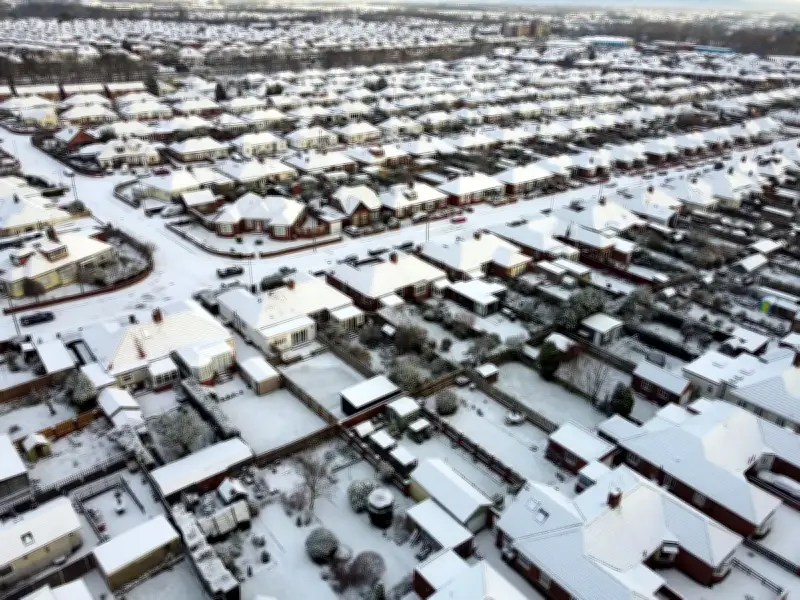
The Met Office has forecast up to 10cm of snow across parts of the UK this weekend as the first cold snap of the season brings severe frosts and activates yellow cold health alerts. Overnight temperatures could drop as low as -6°C in the coming days.
Snow risk focused on northern Scotland
According to the Met Office's latest 10-day trend, the most substantial snow risk will occur across northern Scotland on Saturday night (14 November) into Sunday (15 November), as approaching rain meets cold air already settled over the region. While some snow may briefly reach lower elevations, the heaviest deposits are expected over higher ground.
Forecasters indicate around 2cm is likely above 200 metres, with several centimetres building over higher routes and between 5cm and 10cm potentially accumulating over hilltops.
Yellow cold health alert issued
The UK Health Security Agency (UKHSA) has issued its first yellow cold health alert of the season, covering the North West and West Midlands from 9am on Thursday (12 November) until noon on Saturday. The alert warns the temperature drop could increase pressure on healthcare services and pose a heightened risk to life for vulnerable individuals. Other regions of England remain unaffected.
Dr Anya Gopfert, consultant in public health at UKHSA, said: "This is the first cold-health alert of the winter, but we can expect more as we move further into the season. Cold weather can have a serious impact on the health of some people, including those aged 65 and over and those with pre-existing health conditions, so it is vital to check in on friends, family and neighbours who are most vulnerable." Dr Gopfert said heating homes properly and dressing warmly can help people stay safe during the cold spell.
Frost and weekend outlook
Met Office spokesman Stephen Dixon cautioned motorists to brace for icy starts to the day, warning drivers should expect to scrape their cars as the late-autumn chill takes hold. "The UK is heading towards what will feel like the first cold spell in late autumn, with temperatures likely to drop down towards minus 6C overnight for some in the coming days and a fairly harsh frost likely for some," he said.
Thursday night is expected to bring one of the most widespread frosts of the autumn so far, followed by a cold but bright Friday for many, with daytime highs of 6°C to 8°C and further frost expected into Saturday morning.
Conditions are set to become increasingly unsettled over the weekend. On Saturday, much of the Midlands, eastern and south-eastern England will begin dry, sunny and frosty, while rain becomes widespread across northern and central Scotland, with further showers impacting northern England and north Wales. On Sunday, snow in northern Scotland will gradually ease into lower-level rain, while cloud and intermittent rain spreads into western areas and Northern Ireland. Up to 30mm of rainfall could occur widely throughout the day, particularly in the west, while England and Wales remain largely dry but increasingly overcast.
Next week, a powerful Atlantic jet stream is forecast to push a vast area of low pressure across the UK from later Monday (16 November), bringing milder conditions, fewer frosty nights, and periods of heavy rain and strengthening winds for much of the country, though colder Arctic air and further hill snow could persist in northern Scotland.