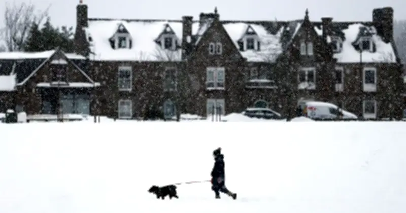
Snow is set to arrive in parts of the UK this weekend, with the latest weather maps showing that up to 4mm of snow per hour could fall in northern Scotland on Sunday. The Met Office forecast indicates that 10 areas are likely to be affected, while temperatures in the region are expected to hover around 5C or 6C.
According to the Met Office outlook for Saturday to Monday: "Saturday starts cold and frosty with sunshine for many, though cloudier in the north and west. Sunday and Monday bring more unsettled conditions, with rain and hill snow possible."
Areas set to see snow on Sunday
The areas likely to see snow on Sunday, according to the map, include Caithness, Sutherland, Cromartyshire, Ross-shire, Inverness-shire, Nairnshire, Morayshire, Banffshire, Aberdeenshire and Argyllshire.
While the rest of the UK is expected to stay dry on Sunday, the same map shows rain could hit Wales, with isolated showers possible in the south and south west of England.
Snow and cold weather on Thursday
Some areas of Scotland are also likely to see snow on Thursday (November 12), with up to 4mm of snow per hour possible in the morning. The most affected areas are expected to be in the north and north-east of the nation.
The Met Office forecast for Thursday reads: "A noticeably chillier day under northerly winds, breezier towards coasts. Wintery showers continue to feed into the far north, but elsewhere it will remain largely dry with plenty of sunshine."
Forecasters predicted temperatures to fall below average by Thursday and Friday, with frost and cold winds expected in parts of the country.
Cold health alert issued
The UK Health Security Agency (UKHSA) has issued a yellow cold health alert for the North West and West Midlands, in effect from 9am on Thursday until noon on Saturday.