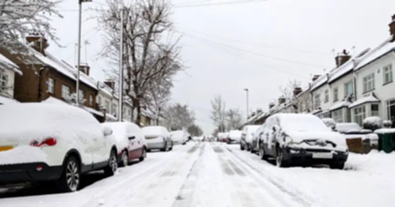
The Met Office has confirmed that the risk of snow on Sunday is increasing, with more wintry weather potentially on the way next week. Forecasts from the weather experts have already suggested that wintry showers and snow could fall in parts of the UK as soon as today, with weather maps also predicting snow on Sunday.
In its latest forecast issued on Friday, the Met Office told UK households that the snow risk this Sunday (November 15) is still increasing. The forecaster said that the UK's forecast 'remains in a colder phase' with temperatures as low as -6C possible in the coming days, along with snow.
Chief Forecaster warns of significant ground frost
Chris Bulmer, the Met Office's Chief Forecaster, said: “The UK forecast has moved to a colder phase with the daytime temperatures for most locations likely to stay in single figures. Overnight temperatures on Friday night will dip again to -4 or even -6C in some locations, meaning another significant ground frost for many locations.”
Met Office Deputy Chief Forecaster Steven Keates added: “The outlook is changeable with spells of rain, sleet and some hill snow.
Snow expected over high ground on Sunday
“On Sunday, low pressure will bring rain or showers to many areas. Precipitation will be most persistent across northern Scotland, where there is an increasing chance of snow developing later in the day. This will mainly fall over high ground, where accumulations are likely, but some snow could fall to lower levels too. Ice may also become a hazard.”
The forecaster added that next week, unsettled and cold conditions remain with “rain, sleet and (mainly hill) snow key features.”
How snow forms and the polar vortex connection
The weather experts said in an explanation on Thursday that snow falls when cold air meets moisture. They added: “A northerly airflow can bring colder Arctic air towards the UK, while easterly winds can draw cold continental air from Europe. If that cold air encounters moisture, either from a weather front or showers developing over the sea, precipitation has a greater chance of falling as snow.”
This current bout of cold weather is not related to the polar vortex phenomenon, a clutch of Arctic air swirling around the North Pole that could be pushed towards the UK. However, forecasts from the Met Office have cautioned that an early cold snap could come by the end of November if stratospheric warming continues to weaken the vortex, spilling cold air across the UK.