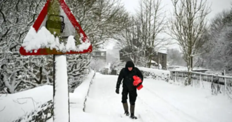
Around 20 areas across Scotland and England are expected to see snow on Monday, November 16, according to Met Office weather maps. The maps show several regions covered in snow at around 6am that day, as the UK enters a colder phase with the first signs of frost already observed in recent days.
Forecast Details for Monday
The Met Office said conditions will turn more unsettled over the weekend, with heavier rain and showers moving in from the west. Over higher ground, this is likely to turn to snow in the northwest of Scotland, though generally conditions will be less cold than recent days.
The Met Office's outlook for Sunday to Tuesday reads: "Unsettled with spells of rain or showers Sunday and Monday. Rain in the south on Tuesday, with some hill snow possible. Brighter with showers elsewhere. Often windy and feeling cold."
Full List of Areas Affected
- Durness
- Lairg
- Ullapool
- Craig
- Fort Augustus
- Aberlour
- Banff
- Pitlochry
- Loch Rannoch
- Finnart
- Oban
- Strathyre
- Helensburgh
- Glasgow
- Stirling
- Stranraer
- Hexham
- Leyburn
- Paisley
- Inveraray
Forecasters' Outlook
Met Office deputy chief forecaster Steven Keates said: "The outlook is changeable with spells of rain, sleet and some hill snow."
He added: "On Sunday, low pressure will bring rain or showers to many areas. Precipitation will be most persistent across northern Scotland, where there is an increasing chance of snow developing later in the day. This will mainly fall over high ground, where accumulations are likely, but some snow could fall to lower levels too. Ice may also become a hazard."
Keates continued: "Into next week, unsettled and cold conditions remain with rain, sleet and (mainly hill) snow key features."