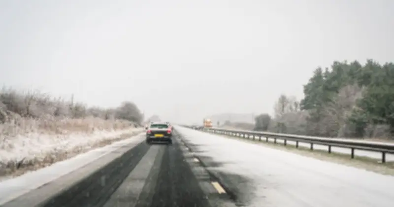
The Met Office has said more snow is on the way as the first blizzards strike the UK, with colder Arctic air set to spread south.
In its latest blog update on Thursday, the national meteorological service said that parts of Scotland could see snow and wintry showers are possible in the far north this weekend.
Snow and wintry showers forecast
The Met Office wrote: "While widespread snow to low levels is not in the current forecast, parts of Scotland could see snow over higher ground, with further wintry showers possible across the far north through the weekend."
Colder air has swept south across the UK, with brisk northerly winds making temperatures feel even lower, the Met Office explained.
Areas most likely to see snow
It also said on Thursday: "Northern Scotland has the greatest chance of seeing snow, with wintry showers affecting northern and eastern Scotland and the Northern Isles."
Snow is most likely above a few hundred metres, although temporary accumulations could occur as low as 200-300 metres. Around 2-5 cm could accumulate above 400 metres. Across the far north and northeast, showers will be frequent and blustery at times.
Risk continues through weekend
The Met Office added that with cold air remaining in place, the "risk of snow" continues across parts of northern Scotland through this weekend.
Predicting snowfall can be tricky, as even the smallest changes in atmospheric conditions can determine whether an area sees rain, sleet or snow. Minor shifts in temperature and wind direction can make a significant difference to the type of precipitation that reaches the ground.
The intensity of rain or snow also plays a role. Heavier precipitation can cool the air closer to the surface, increasing the chances of snow settling, while lighter flakes may melt as they pass through warmer layers of air, turning into rain or sleet before reaching the ground.