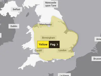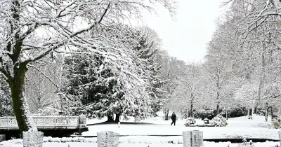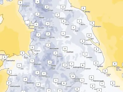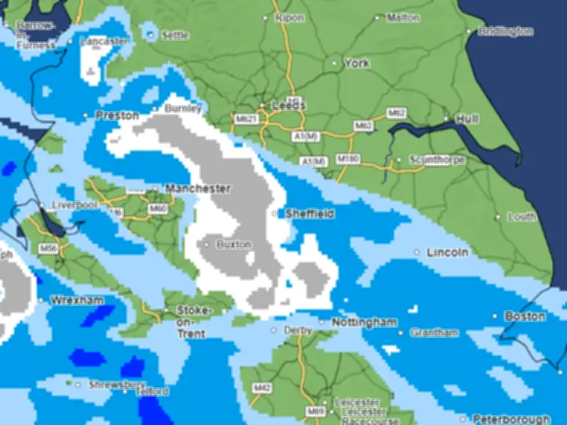
Met Office maps show a large band of snow moving across parts of England and Wales, with people across Greater Manchester and the north west potentially facing more wintry weather next week.
A 200-mile stretch band is forecast to push northwards and eastwards during the early hours of Tuesday (November 17) as an incoming weather system clashes with much colder Arctic air.
Areas at risk of snow on Tuesday
Cheshire, Merseyside and Lancashire are among the areas listed as potentially facing snow, with the latest maps suggesting the band could stretch across northern England and into parts of Scotland.
The forecast comes after temperatures plunged to minus 6.4C in Cumbria and Brecon last Thursday, with the UK continuing to experience a particularly cold spell.
Cold conditions set to return
Conditions are expected to become slightly milder on Sunday as Atlantic weather fronts bring rain to parts of the country. However, colder air from the Arctic is then forecast to return, bringing the risk of further wintry showers.
Met Office forecaster Helen Willetts said the returning northerly winds would bring colder conditions back across the country, with the potential for snow as another weather system moves in from the south.
She said: "Tuesday looks quite an interesting day as we've got this next weather system running to the south of the UK, as it comes and bumps into the cold air we could have a spell of snow."
However, the forecaster stressed that the exact position of the snow band could still change. She added: "It is a long way off at the moment but we will firm up, don't take this as read because it could be a little bit further north or south but wherever that weather front grinds to a halt we could see a spell of snow primarily on the hills but not necessarily exclusively - we could see something at lower levels as well."
Forecast for Monday to Wednesday
The Met Office's forecast for Monday to Wednesday also warns of colder conditions, with rain and hill snow moving northwards across the UK into Tuesday. Its latest North West outlook says rain and possible hill snow could arrive later on Monday and continue into Tuesday, although Manchester's current forecast indicates heavy rain rather than snow on Tuesday.
Areas facing possible snow on Tuesday include Cheshire, Merseyside, Lancashire and Cumbria in the North West; Gwynedd, Conwy, Denbighshire, Flintshire, Wrexham and Powys in Wales; Staffordshire, Derbyshire, Yorkshire, Nottinghamshire, Lincolnshire, Durham, Newcastle and Northumberland elsewhere in England; and Dumfries and Galloway, Scottish Borders, South Ayrshire, East Ayrshire, South Lanarkshire, North Lanarkshire, Perth and Kinross, Aberdeenshire, Moray, Highland and Argyll and Bute in Scotland.