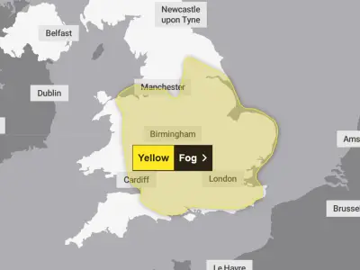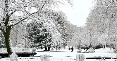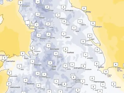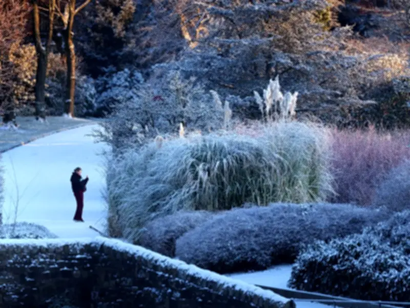
Britain is bracing for a fresh Arctic freeze after weather maps revealed a huge 200-mile wall of snow could sweep across England and Wales within days. Forecasters say swathes of the country are in line for wintry conditions as temperatures remain locked in an icy grip, having already plunged to -6.4C in Cumbria and Brecon.
Cold snap to return after brief respite
After a bitterly cold Saturday, Sunday is expected to bring a brief respite with rain from the Atlantic before freezing Arctic air surges back across the UK. The dramatic change could spark widespread snowfall when a band of wet weather moving north collides with the colder air.
Forecast maps show snow stretching across northern Wales and England from midnight on Monday, before pushing north and east through the early hours of Tuesday, The Mirror writes.
Snow band to sweep across the country
By 3am, the snowy band is expected to run from southern Scotland below Glasgow across northern England and as far south as Nottinghamshire and Lincolnshire. More than 5cm of snow could fall in some places, with up to 15cm possible over the hills of central Scotland.
BBC weather forecaster Helen Willetts says: "We can see that northerly wind coming back in later in the day pushing those weather fronts out of the way by the start of Monday and we are back into that sparkling Arctic air. So even at lower levels in the north we could see some snow showers and they will certainly be gathering in force across the northern part of Scotland."
Tuesday looks quite an interesting day as we've got this next weather system running to the south of the UK, as it comes and bumps into the cold air we could have a spell of snow. It is a long way off at the moment but we will firm up, don't take this as read because it could be a little bit further north or south but wherever that weather front grinds to a halt we could see a spell of snow primarily on the hills but not necessarily exclusively - we could see something at lower levels as well.
Areas affected and outlook
Wales: Gwynedd, Conwy, Denbighshire, Flintshire, Wrexham, Powys. England: Merseyside, Cheshire, Staffordshire, Derbyshire, Yorkshire, Nottinghamshire, Lincolnshire, Lancashire, Cumbria, Durham, Newcastle, Northumberland. Scotland: Dumfries and Galloway, Scottish Borders, South Ayrshire, East Ayrshire, South Lanarkshire, North Lanarkshire, Perth and Kinross, Aberdeenshire, Moray, Highland, Argyll and Bute.
Willetts adds: "We are staying in the colder air for much of next week." A forecast from the Met Office states: "Into next week, unsettled and cold conditions remain with rain, sleet and (mainly hill) snow key features." Its outlook for Monday to Wednesday reads: "Colder, but sunnier on Monday. Wintry showers in the far north, with rain, and hill snow moving north across the UK into Tuesday. Brighter, but colder again for most midweek."