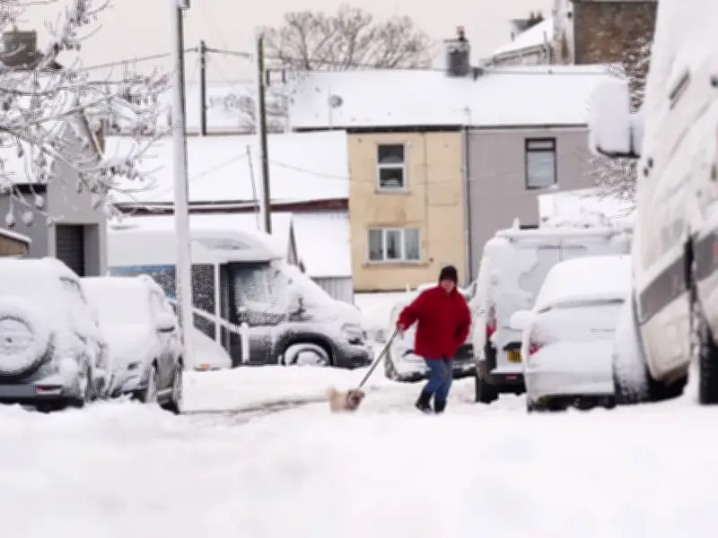
Fresh weather maps suggest a 500-mile swathe of wintry conditions could bring up to four inches of snow to parts of Britain on Tuesday, November 24, with 11 areas forecast to be worst hit.
According to WX Charts, snowfall rates could reach nearly 0.4 inches per hour in places. The maps indicate snow beginning to sweep across parts of the UK from approximately 12am on Tuesday, with conditions potentially intensifying as the day unfolds.
Forecast Snowfall and Affected Areas
The most substantial snowfall is presently forecast to arrive towards the evening. Maps covering 6pm reveal a considerable band of snow extending from the Midlands towards northern Scotland, with vast areas turning white.
By 9pm on Tuesday, the most recent WX Charts maps indicate snowfall could blanket much of Scotland, the North East of England and parts of the Midlands. Amongst the areas potentially experiencing the heaviest snowfall are parts of the Scottish Highlands, Aberdeenshire and Moray, alongside counties further south including Northumberland and County Durham.
Met Office Long Range Outlook
Separately, the Met Office's long range forecast for the period of Tuesday, November 24 to December 3 reads: "Bands of rain will move in from the Atlantic at times, making erratic and uncertain eastward progress across the UK. These systems may also bring occasional strong winds."
"Either side of bands of rain a mixture of clear/sunny spells and showers. Often rather cold in northern areas which could allow precipitation to fall as snow at times, mainly over hills."
"Generally milder in the south though still potential for some cold nights in clearer spells. Through late November, there is an increasing chance that high pressure will start to have more influence bringing more settled conditions, particularly across the north. Temperatures likely staying close to average, although an ingress of colder conditions cannot be ruled out."
The 11 Areas Set to Be Worst Hit
According to WX Charts, the 11 areas set to be worst hit by snow are Cumbria, Northumberland, County Durham, North Yorkshire, Highland, Moray, Aberdeenshire, Perth and Kinross, Angus, Stirling, and Argyll and Bute.