The Met Office has issued yellow weather warnings for thunderstorms and heavy rain across parts of the UK on Tuesday, ahead of a potential return to 30°C temperatures by the weekend.
Current Warnings and Impacts
A yellow rain warning is in effect for central Scotland from 2pm until 9pm on Tuesday, raising the risk of temporary flooding. In the warning area, some places could see 20mm of rain in an hour, with a chance of 30-40mm in two or three hours, according to the Met Office.
Simultaneously, large parts of Northern Ireland face a yellow thunderstorm warning from midday until 6pm. The Met Office forecasts hail, thunderstorms, and localised flooding, with 10-15mm of rain possible in less than an hour, and up to 25-30mm in two or three hours.

Temperature Outlook
Met Office spokesman Stephen Dixon noted that while temperatures in the South will remain in the low to mid-20s this week, they are expected to climb into the high 20s or early 30s over the weekend and into next week. Although some areas could meet the three-day heatwave criteria, Mr Dixon added it is unlikely to be as hot as last week. “Through the day today, more unsettled weather, particularly in northern and western areas,” he said on Tuesday. “It’s a bit of an abrupt transition for some.”
Midweek Forecast
On Wednesday, Northern Ireland, Scotland, and parts of northern England will see rain arrive from the west and move eastward. However, it will be drier further south. On Thursday, there could be outbreaks of showers in southern parts of England, but it will be a largely dry day for many.
Weekend and Beyond
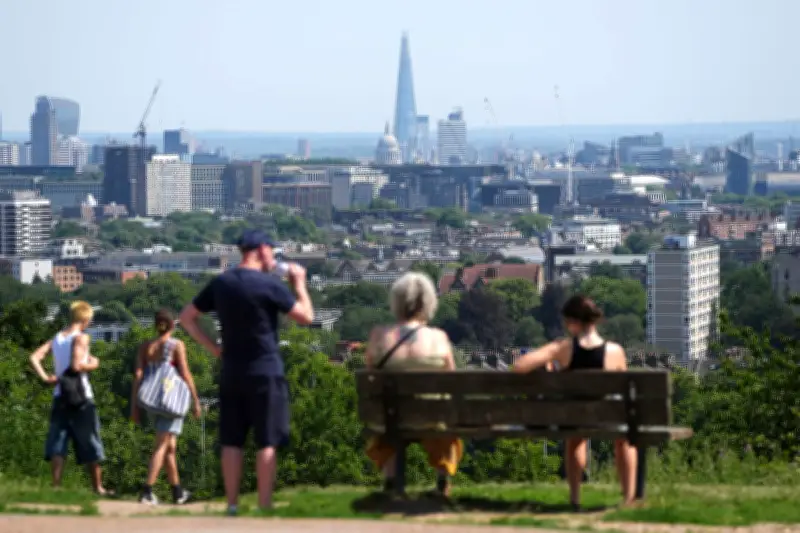
Friday will be largely dry with some showers in western Scotland and Northern Ireland. In the early part of the weekend, there will be rain in the North West but it will be fairly dry in the South, the Met Office said. Another warm spell is possible, particularly in the South, with weekend temperatures forecast to hit the high 20s or low 30s.
Mr Dixon said: “What’s looking likely into next week is that high pressure to remain largely dominant in the South, staying into the high 20s and low 30s in parts of England.” It is possible that some places could reach the three-day heatwave criteria, the forecaster said.
Recent Heat Records
The UK set a provisional June temperature record of 37.7°C on Friday – even higher than previously thought – as parts of the UK sweltered in a heatwave. The Met Office said an update received over the weekend of 37.7°C measured at Lingwood in Norfolk, east of Norwich, beats the 37.3°C recorded at Santon Downham in Suffolk on Friday, and is a provisional new June temperature record for the UK. It beats the previous June record for the UK of 35.6°C dating back to 1976 by more than 2°C, which is significant given such records have usually been broken by only a fraction of a degree in the past.