The Met Office has issued multiple weather warnings for Thursday, forecasting severe gale-force winds of up to 70 mph across various parts of the United Kingdom. This dramatic shift comes after a spell of unseasonably warm weather, which included the hottest day of the year recorded last Thursday at 19.2 degrees Celsius.
Significant Temperature Drop Expected
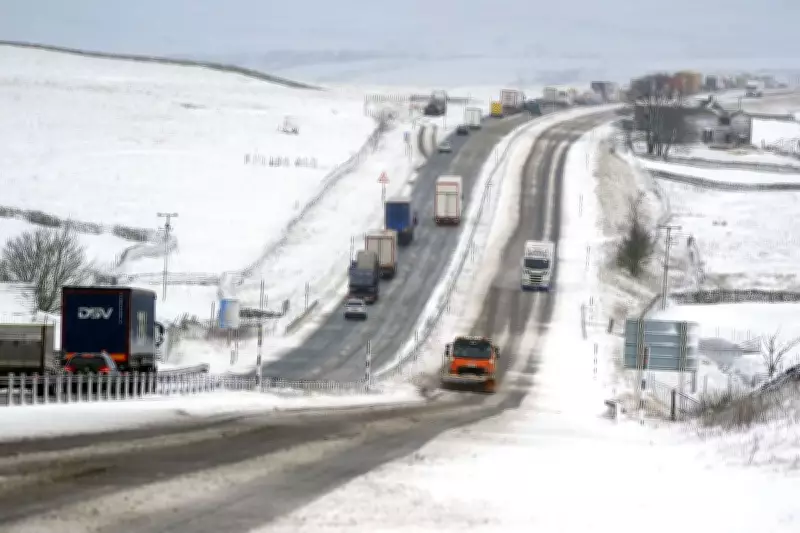
Following the recent warmth, temperatures are predicted to plummet significantly as a cold snap returns. The rest of the week will see widespread rain, wind, and cloud cover across the UK, with the potential for hill snow in the Scottish mountains adding to the wintry conditions.
Wind and Snow Forecast Details
On Thursday, gusts of 50 to 55 mph are widely anticipated, while coastal regions and high ground areas could experience even stronger winds reaching 60 to 70 mph. The Met Office warns that these gale-force winds may cause disruption and hazardous travel conditions.

Friday is set to bring a notably colder day nationwide due to a shift to a north-westerly wind pattern. This change will usher in blustery showers and further snow over high ground, particularly in Scotland, where accumulations are possible.
Impact and Preparedness
The sudden return of cold weather, with snow and strong winds, marks a stark contrast to the recent mild temperatures. Residents are advised to stay updated on Met Office warnings and prepare for potential travel delays, power outages, and icy conditions, especially in affected areas.