The United Kingdom is experiencing its first significant winter blast, with blizzards, ice, and freezing temperatures causing widespread disruption. Hundreds of schools have been closed, and many roads are blocked or hazardous as snow falls across the country. The Met Office has issued eight yellow weather warnings for snow and ice covering Devon, Cornwall, parts of Kent, the east coast, East Anglia, north-east England, parts of Wales, Northern Ireland, and northern Scotland.
An amber alert for snow and blizzards is in place on the North York Moors and Yorkshire Wolds, with up to 25cm of snow expected on hills. The Met Office warned of 'substantial disruption' including travel delays, power cuts, and school closures. In Scotland, Aberdeenshire was worst hit with over 90 schools closed. Wales saw closures in Pembrokeshire, Carmarthenshire, and Ceredigion, while dozens of schools closed in northern England.
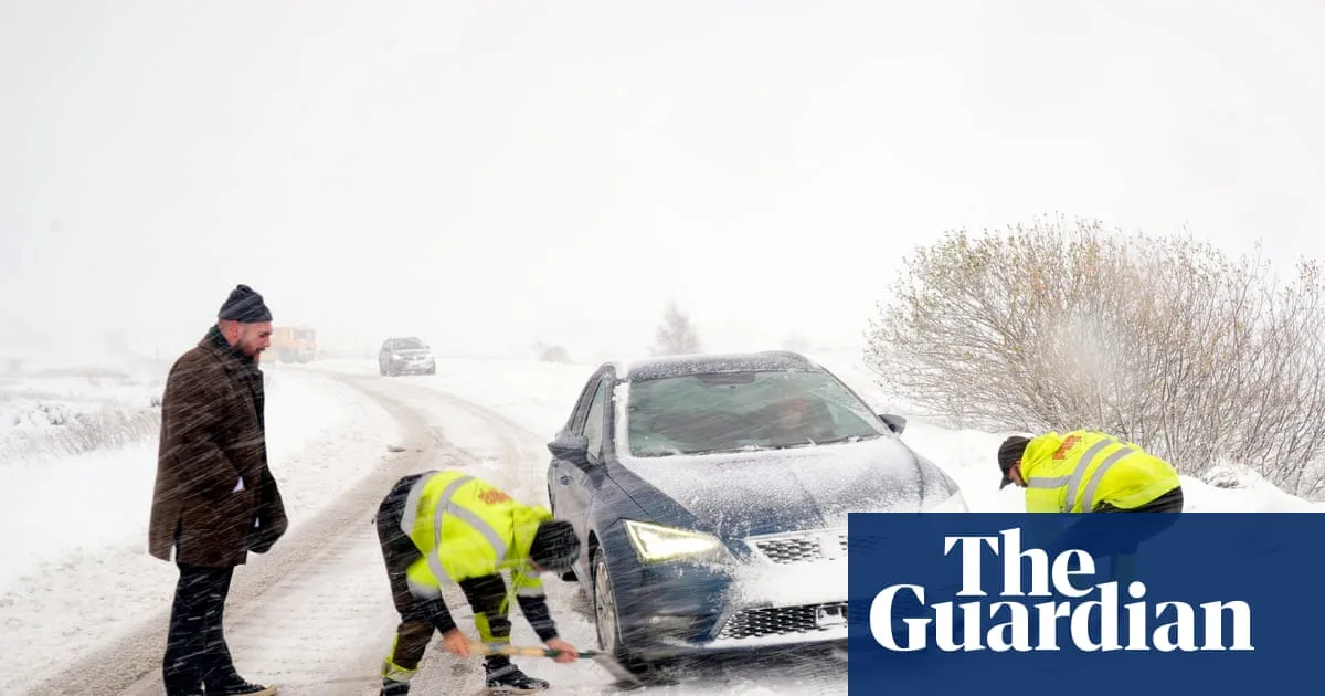
Major roads were shut, including the A1 northbound between Morpeth and Alnwick in Northumberland, and the A171, with police urging motorists to avoid Malton, Scarborough, Whitby, and Filey. The A169 Pickering to Whitby was closed for much of the morning. Drivers in North Yorkshire were advised to make only essential journeys, and Pembrokeshire council warned of 'extremely hazardous conditions'. The AA advised motorists to slow down and allow extra time, noting stopping distances can increase tenfold on ice.

The cold snap brought the lowest temperatures of the season, with -6.6°C recorded at RAF Benson in Oxfordshire, -6.4°C in Sennybridge, Powys, and -2.8°C in County Antrim. In rural Scotland, temperatures could drop to -10°C overnight. The Met Office reported 'thundersnow' in Aberdeenshire and off the north-east coast, with further risk on Thursday. The UK Health Security Agency's amber cold health alert remains in place for northern England until Saturday.
Despite the disruption, some embraced the snow for sledging and building snowmen, and bookmaker William Hill shortened odds for a White Christmas. Temperatures are expected to rise towards the weekend, bringing wetter and windier weather but not as mild as earlier this month.