Parts of Scotland are bracing for significant snow showers on Friday, following a day of blustery and disruptive weather conditions that swept across much of the United Kingdom on Thursday. The Met Office has escalated its alerts by issuing a yellow weather warning specifically for snow and ice, which will be in effect until 9am on Friday morning.
Targeted Snow Warning for Scottish Regions
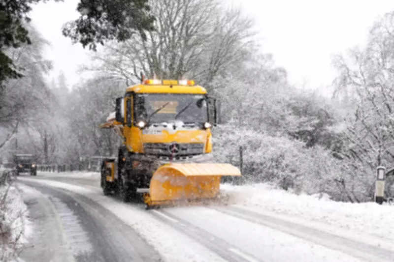
The warning covers a substantial area north of Stirling extending towards Fort William, where up to 5cm of snow is anticipated to accumulate widely. On higher ground, particularly above 350 metres, there is a possibility of up to 10cm of snowfall, creating hazardous conditions for travel and daily activities.
Met Office Forecast Details
A Met Office forecaster provided a detailed outlook, stating: "Blustery wintry showers will affect central and north-west Scotland during Thursday afternoon and evening but are expected to become more frequent during the second half of the night before easing on Friday morning. Two to 5cm of snow is expected fairly widely across the area, with 10cm possible in places above about 350 metres." This forecast highlights the intensification of conditions overnight, with a gradual improvement expected by late Friday morning.

Widespread Wind Disruption Across the UK
Preceding the snow alert, Thursday saw extensive wind warnings across multiple regions. A yellow wind warning was active for central, southern, and north-eastern Scotland, as well as northern England, with gusts reaching 50-55mph widely. Coastal areas and locations downwind of high ground experienced even stronger gusts, potentially hitting 60-70mph, leading to significant travel disruptions.
Transport and Infrastructure Impact
The windy conditions caused considerable delays across various transport networks. ScotRail advised passengers of extended journey times due to speed restrictions implemented by Network Rail Scotland on key routes including the West Highland Line, the Highland Main Line, and the Far North and Kyle Lines. Additionally, several Caledonian MacBrayne ferry services along Scotland's west coast were disrupted or cancelled.
In Aberdeenshire, the A90 was temporarily blocked in both directions at Fordoun after a fallen power line obstructed the north and southbound carriageways. The incident was cleared just after 9am, but it underscored the broader risks posed by the severe weather. Forecasters warned of potential delays to road, rail, ferry, and air transport, along with possible short-term power outages and service interruptions.
Weather System Dynamics and Regional Variations
The Met Office attributed the strong winds to an "active weather front moving south-eastwards across the UK," with conditions expected to ease from the north throughout Thursday. In Northern Ireland, a separate yellow wind warning remained in place until midday on Thursday, where gusts of 40-50mph were reported across much of the region. A brief period of heavier gusts between 50-60mph, accompanied by heavy rain, affected many areas before winds began to subside from the west later in the morning.
As the UK transitions from these blustery conditions to the anticipated snow showers in Scotland, residents and travellers are urged to exercise caution. Icy surfaces and reduced visibility could lead to further travel disruption, making it essential to stay updated with the latest Met Office advisories and plan journeys accordingly.