
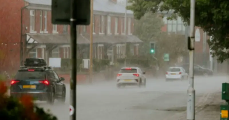
New weather maps from WXCharts, generated on July 15 using Met Desk data, indicate a 485-mile wall of rain will sweep across the UK on July 28, offering a reprieve from the current heatwave. The maps show areas from Aberdeen in Scotland to Gloucestershire in England will experience heavy rainfall, with the heaviest downpours expected around Manchester, Leeds, Liverpool, York, Birmingham, Cambridge, and Gloucestershire.
Timing and Extent of the Rain
The rainy conditions are forecast to begin around 12 noon on July 28, moving southward by evening, leaving London and Surrey completely drenched, according to the maps. This comes as the UK has endured its third heatwave of the summer, with temperatures persisting above 30°C for days in several regions. The hottest day so far this July was recorded in Wisley, Surrey, at 35.5°C last Thursday.
Recent Heat Records
Met Office data revealed that May, June, and July have seen temperatures hit 35°C for the first time in the UK. June recorded a high of 37.7°C, surpassing the previous monthly record set during the historic summer of 1976. The current hot spell shows little sign of easing, but the incoming rain is expected to provide a temporary break.
Met Office Long-Range Forecast
The Met Office's long-range forecast for July 19-28 states: "Remaining predominantly dry for most parts of the country as high pressure is likely to remain close to the UK for much of this period. However, with the source region of the air being from the North Atlantic, it will be somewhat less hot compared to many recent days. Any showers during the start of the period are more likely across the far north. Towards the latter part of July, the influence of high pressure may wane somewhat, allowing a greater chance of rain, showers or thunderstorms compared to earlier in the month. Overall, temperatures are expected to remain above average during this period."




