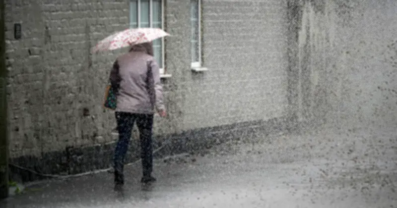
The Met Office has named 20 areas across the UK that are set to be battered by heavy rain on Tuesday, June 30, following a week of record-breaking hot weather. Weather maps generated on Saturday, June 27, show rain showers across much of the country, with the strongest downpours expected in Scotland.
Areas Affected by Tuesday's Rain
According to the Met Office, the heaviest rain will hit Scotland, particularly Inverness, Glasgow, Edinburgh, and Aberdeen. Other areas include Wick, Fort William, Manchester, York, Newcastle, Carlisle, Plymouth, Southampton, Cardiff, Gloucester, Liverpool, Leeds, Norfolk, Suffolk, Devon, and Somerset.
Shift from Record Heat to Unsettled Conditions
The rain comes after the UK experienced its hottest June day on record. Friday saw a provisional temperature of 37.3°C in Santon Downham, Suffolk, surpassing the previous high of 36.7°C in Merryfield, Somerset, on Thursday. The Met Office confirmed three consecutive days of record-breaking June heat.

Met Office Chief Forecaster Andy Page noted a “gradual shift in conditions” over the weekend. He said: “The UK is seeing a gradual shift in conditions over the weekend, with those to the southeast of England retaining the warmth the longest, where an Amber Extreme Heat Warning remains in force through much of Saturday, though peaks are more likely to be in the low 30s Celsius.”
Extended Amber Warning and Cooler Outlook
The amber warning was extended to Sunday morning “to cater for final hot and humid night of the departing heatwave,” the Met Office said in an update. The forecast from Monday to Wednesday indicates: “Feeling fresher for all. Largely dry with sunny spells, but a few showers possible, particularly on Tuesday and in the northwest. Light winds and feeling pleasant in the sunny spells.”