Britain is set to be hit by freezing conditions this weekend, with the latest weather maps showing temperatures in parts of the country plummeting to -9C. The maps, generated by WXCharts, indicate that several areas will shiver in sub-zero temperatures, aligning with the Met Office's forecast of lows around -8C or -9C.
Coldest regions in Scotland
Areas near Fort William and Inverness in Scotland are likely to witness the harshest conditions, according to the maps. The coldest readings are expected in Perth & Kinross and Angus, both at -9C, followed by Clackmannanshire and Fife at -6C. Other Scottish counties, including the Scottish Borders, South Lanarkshire, and Dundee, are forecast to see -4C, while Argyll & Bute, Stirling, and several others will drop to -2C or -3C.
English counties affected
Many areas in England will also see chilly conditions, with temperatures falling to -2C in Cumberland, Northumberland, Durham, Westmorland, Yorkshire, and Lancashire. Cheshire and Derbyshire are expected to reach -3C.
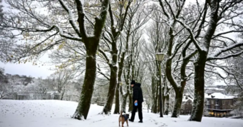
This latest update follows a cold snap earlier in the week that brought snowfall to parts of England and southern Scotland.
Met Office forecast
The Met Office said in its latest update: "The jet stream remains strong and displaced to the south of the UK, leaving us predominantly on its colder side."
"Low pressure will continue to bring changeable conditions, particularly across southern areas, while further north there should be more in the way of drier and brighter weather."
"There could briefly be quieter conditions around Friday and Saturday, with Friday night into Saturday potentially turning particularly cold. Temperatures could fall to around -8C or -9C in places. Wet weather is then expected to approach from the west later on Saturday, accompanied by somewhat milder air."