
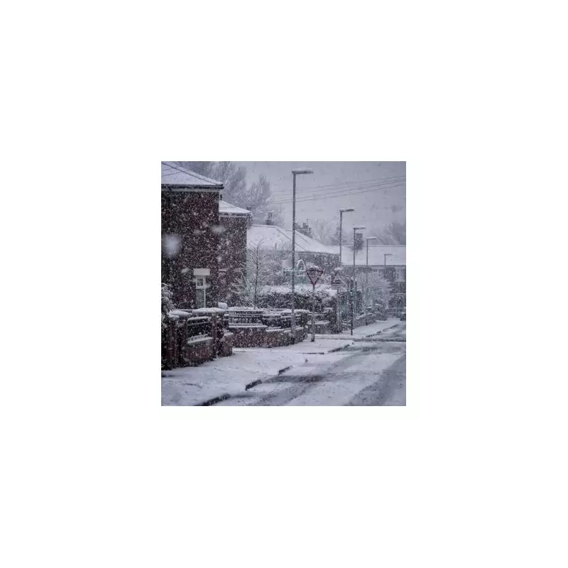
Fresh weather data from Metdesk indicates that a severe Arctic blizzard is poised to strike the United Kingdom at the end of next week, with exact maps pinpointing the arrival for Sunday, February 1. The meteorological event is expected to deliver substantial snowfall across numerous urban centres, potentially disrupting travel and daily life.
Widespread Snowfall Forecast for Key Cities
According to the latest charts, the snow will begin its advance across the UK in the early hours of Sunday morning, moving from west to east. As the morning progresses, a concentrated band of wintry precipitation will sweep over the country, affecting a broad swathe of populated areas.
Northern and Central Regions on High Alert
Initial impacts will be felt in cities such as Belfast, Blackpool, and Stoke-on-Trent, before the system pushes further into Manchester, Newcastle, and major Scottish hubs including Glasgow and Dundee. The snowfall is not confined to the north; forecasts suggest it will reach as far south as Norwich and as far east as Aberdeen, illustrating the extensive reach of this weather front.

WXCharts snow depth projections for noon on February 1 highlight significant accumulations. Urban areas like Stoke-on-Trent, Manchester, and Blackpool could see around two inches of snow settling on homes and businesses. Meanwhile, Newcastle and various locations across Scotland are braced for similar conditions.
Potential for Deep Snow Drifts in Scotland
The most intense accumulations are anticipated over higher ground in Scotland, where snow drifts may reach depths of up to 16 inches. This poses a considerable risk for transport networks and could lead to isolated communities in elevated regions.
Met Office Issues Broader Weather Advisory
In a separate outlook covering the period from Sunday, January 25, to Tuesday, February 3, the Met Office has warned of unsettled conditions. Their forecast notes that weather systems approaching from the Atlantic may stall near the UK due to high pressure to the north and northeast.
"Further spells of rain or showers are likely at times," the Met Office stated. "These may be heavy and persistent, especially in the south and west, with the best of any drier interludes in the far north and northeast."
The advisory also indicates a trend towards colder temperatures through this period, increasing the likelihood of snow showers. These are expected to be most prevalent across hills in Scotland and northern England, aligning with the Metdesk projections for more widespread snowfall.
Comprehensive List of Cities Anticipating Snow on February 1
The following urban centres are forecast to experience snowfall during the blizzard:
- Aberdeen
- Dundee
- Glasgow
- Edinburgh
- Belfast
- Newcastle
- Sunderland
- Middlesbrough
- Blackpool
- Blackburn
- Leeds
- York
- Manchester
- Sheffield
- Liverpool
- Stoke-on-Trent
- Derby
- Nottingham
- Coventry
- Telford
- Norwich
Residents in these areas are advised to stay updated with the latest weather warnings and prepare for potential travel disruptions as the Arctic blizzard approaches.


