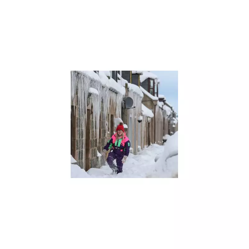
The United Kingdom is bracing for a severe and disruptive bout of winter weather over the next 72 hours, with forecasters warning of a 'multi-hazard' event combining dangerous cold, snow, and powerful winds. Temperatures are set to plummet to a biting -12C, while incoming Storm Goretti threatens to trigger blizzard conditions across parts of England and Wales.
Arctic Blast Brings Widespread Snow and Ice Warnings
Meteorologists have raised the alarm for a significant cold snap, driven by a mass of freezing Arctic air. The Met Office has issued weather warnings covering most of the country, highlighting risks of snow and ice in northern Scotland and 'icy patches' across the rest of the UK. This follows what has already been the coldest week of the winter so far, with conditions expected to deteriorate further.
James Madden from Exacta Weather warned that wintry weather fronts will continue to bring moderate to heavy snow showers, with settling snow likely even at lower levels across the northern half of the country. "The potential is still there for widespread or transient snow to form over some quite vast areas from central to southern regions," he stated, noting that the leading edge of this system will travel swiftly southwards.

Storm Goretti's 'Multi-Hazard' Threat
The situation is forecast to become more complex and hazardous as Storm Goretti – named by the French agency Meteo France – moves across the English Channel from Thursday into Friday. Met Office Deputy Chief Forecaster Chris Bulmer emphasised the storm's disruptive potential as it clashes with the entrenched cold air over the British Isles.
"We have therefore issued a yellow warning for snow for parts of England and Wales, where heavy snow could lead to disruption and difficult travelling conditions," Mr Bulmer said. A separate yellow wind warning has been issued for southwest England due to the strong gales associated with the storm. He cautioned that the exact track of the low-pressure system remains uncertain and warnings could be amended or escalated in the coming days.
Prolonged Cold and Travel Disruption Expected
The extreme cold is set to persist, with temperatures forecast to remain well below average into the weekend. Mr Madden indicated that temperatures could dip as low as -10C to -12C in the coldest spots of the far north by Tuesday and Wednesday evening, accompanied by continuing frost, ice, and snow hazards nationwide.
The combination of heavy snow, icy roads, and strong winds from Storm Goretti is expected to cause significant travel disruption. The public is advised to stay updated on the latest Met Office warnings and to exercise caution. The outlook for Thursday to Saturday indicates the cold will hold firm, with a mixture of rain, sleet, and snow moving across the country at times.