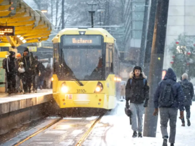
BBC weather forecasters have explained why the UK could see a snowier winter than usual this year, following the earliest 'major sudden stratospheric warming' on record. The polar vortex has reversed direction, which could bring cooler and more wintry conditions in the coming weeks.
What is the polar vortex?
The Met Office described the stratospheric polar vortex (SPV) as "a large-scale circulation of very strong winds found high above the Arctic during the Northern Hemisphere winter." It sits in the stratosphere, around 10 to 50km above the surface, and circles a pool of very cold air over the North Pole.
Although it forms far above day-to-day weather, changes in its strength and shape can influence the atmosphere below, including the position and behaviour of the jet stream. During winter, the vortex can strengthen, weaken, and stretch, occasionally even splitting apart.
Record early sudden stratospheric warming
A stable polar vortex often results in a relatively straight jet stream across the North Atlantic, bringing typical mild and wet winter conditions from the west. However, a weakened vortex can be associated with a more volatile jet stream, bringing less typical conditions.
When the polar vortex weakens, it is called a sudden stratospheric warming. During such an event, "temperatures in the polar stratosphere can rise sharply over just a few days and the strong westerly winds that normally make up the vortex are weakened," according to the Met Office. For it to be a 'major' sudden stratospheric warming, the winds reverse direction in the mid-stratosphere.
BBC forecasters said: "These polar winds usually blow in a westerly direction, keeping cold air locked high above the North Pole. However, in recent weeks the polar vortex has weakened and shifted position. Observations have now shown a switch to easterly winds, which experts say defines a 'major sudden stratospheric warming' or SSW."
Potential for colder and snowier weather
The forecasters explained that these disruptions are "often linked with colder weather in the UK." They added: "Major SSW events have often historically increased the chance of drier and colder weather in the UK with northerly or easterly winds bringing in Arctic air. It can also boost the possibility of snow, especially across eastern parts of the UK."
The previous earliest SSW on record happened on 28 November in both 1969 and 2025. In 2018, the infamous Beast from the East followed a major SSW that had occurred a few weeks earlier.
Uncertainty remains
Forecasters say it is still too early to say what will happen, as it takes a while for the changes in the polar vortex to work their way down and impact the atmosphere below. The Met Office explained: "An SSW does not automatically mean cold weather for the UK. The link between the stratosphere and surface weather is influential, but not guaranteed."
"The details depend on how the lower atmosphere responds after the event, including the position of high and low pressure, the behaviour of the jet stream, and other weather patterns affecting the North Atlantic and Europe." It added: "If high pressure becomes established to the north or northeast of the UK, colder easterly winds can impinge on the UK. These tend to bring colder, drier air and can produce sleet or snow showers, especially in eastern areas. In other setups, northerly winds can bring cold Arctic air southwards, increasing the risk of wintry showers, ice or snow, depending on temperatures and moisture."
"At the same time, the impacts can vary widely. Some SSW events are followed by notable cold spells, while others have little lasting effect on UK weather. In some cases, the strongest impacts may be felt elsewhere in Europe or the Northern Hemisphere."