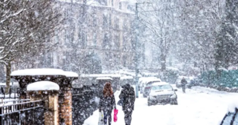
The Met Office has warned temperatures could plunge to -9C in parts of the UK as an unusually early atmospheric event disrupts the polar vortex, raising questions about the prospect of further wintry weather.
Snow Forecast for Sunday
A forecast map for 5am on Sunday shows scattered patches of precipitation across parts of Scotland, including areas around Loch Lomond and Loch Rannoch, with further showers appearing offshore. The latest outlook suggests northern areas could see sunny spells and light showers on Sunday, while persistent rain is expected across the south-west.
Monday is forecast to be brighter for much of the country, although cloud will thicken further west, before rain moves in on Tuesday. The cold conditions come after snow affected parts of northern England and southern Scotland.
Temperature Drop and Atmospheric Disruption
The Met Office said temperatures could fall to around -8C or -9C in places during Friday night into Saturday, before wet weather approaches from the west later on Saturday, bringing somewhat milder air.
However, forecasters stressed that the recent cold spell is not being caused by the sudden stratospheric warming (SSW) event now taking place high above the Earth. The Met Office said: “Crucially, however, this recent cold weather isn't the result of the SSW.”
The SSW has disrupted the stratospheric polar vortex, a circulation of strong westerly winds which normally surrounds extremely cold air above the North Pole. The disruption has taken place around 30km above the Earth's surface, following an unusually strong sequence of atmospheric waves during October and November.
Impact on Weather Patterns
According to the Met Office, a strong wave two pattern towards the end of October squeezed and weakened the vortex. This was followed by a wave one event during November, which appears to have pushed it further away from the North Pole.
Analysis using ECMWF reanalysis data suggests the wave two event was particularly remarkable, with its strength significantly greater than comparable events recorded in the dataset, which stretches back to the 1940s.
The Met Office explained that changes caused by an SSW can take around two to six weeks to filter down through the atmosphere and potentially influence weather closer to the surface. But, the Met Office said this does not “necessarily” confirm that snow is on the way.
It said: “This is only a shift in chances rather than a guaranteed cold spell. In any case, cold weather also doesn't mean snow is inevitable, as a number of factors need to align for snow.”
The polar vortex is already beginning to recover, with its westerly winds strengthening again. Some longer-range forecast models suggest they could weaken once more later in December, potentially creating further disruption. The Met Office said: “For now, the polar vortex is beginning to recover, with its westerly winds strengthening again.”
It added that some longer-range model forecasts suggest those winds could weaken again later in December, although this remains uncertain.