
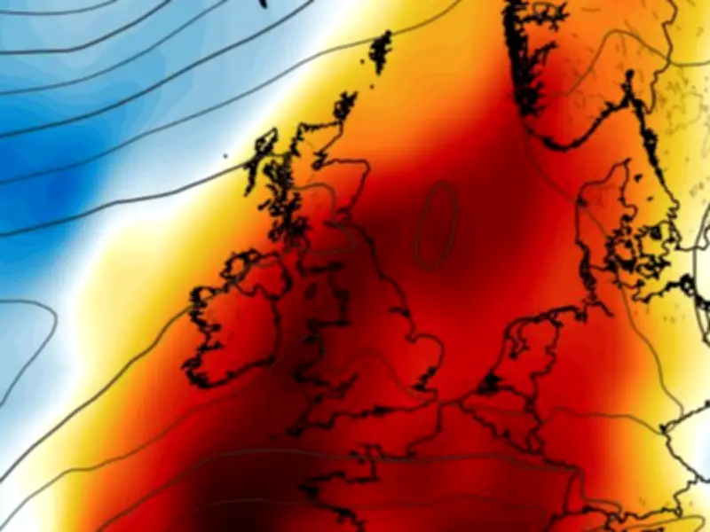
Weather maps indicate that Liverpool and other parts of the north west of England are expected to reach 30°C this week as a third heatwave sweeps across the UK. The Met Office has officially declared a heatwave following three consecutive days of temperatures above 28°C in the south east.
Temperatures have been rising after a mild start to July, with the south east of England now meeting the heatwave criteria. This marks the third heat surge of the year, following extreme temperatures in May and June that affected many regions.
Forecast for Liverpool and the North West
While southern parts of the UK are experiencing higher temperatures from today, the strong sunshine is expected to move northward as the week progresses. By the weekend, warm air is forecast to reach northern areas, bringing increasingly humid conditions.
On Wednesday, the Met Office predicts a high of 26°C in Liverpool, with cloudy conditions in the north and brighter spells in the south. As the day goes on, cloud cover is expected to lift and break, leaving a bright evening and feeling very warm, with a maximum temperature of 27°C.
Temperatures are set to climb to 27°C on Thursday and reach a scorching 30°C on Friday. The humid conditions will persist into the weekend, with 28°C expected on Saturday and 27°C on Sunday.
Met Office Comments on the Heatwave
Met Office deputy chief forecaster Steven Keates stated: “Parts of the UK are entering heatwave conditions: the third heatwave in the UK so far this year.” However, he noted that this heatwave will differ from the previous two, as temperatures are not expected to reach record-breaking levels.
“Unlike the May and June heatwaves, we are not expecting this heatwave to be record-breaking,” Keates said. “Temperatures this week are not expected to reach the highs we witnessed last month, though parts of southern England in particular are likely to see several days in the low 30s, and a few places could reach 34-35°C later this week.”
Key Differences from Previous Heatwaves
The key difference compared with the recent heatwave is the source of the air. With high pressure positioned further west, westerly winds will continue to influence conditions. This should keep temperatures below the extremes recorded in June and result in lower humidity levels.
Looking ahead to the end of the week, the Met Office forecast states: “Turning brighter over the next few days with spells of strong sunshine. Temperatures climbing and starting to feel hot in the south. Staying dry with light winds.”




