
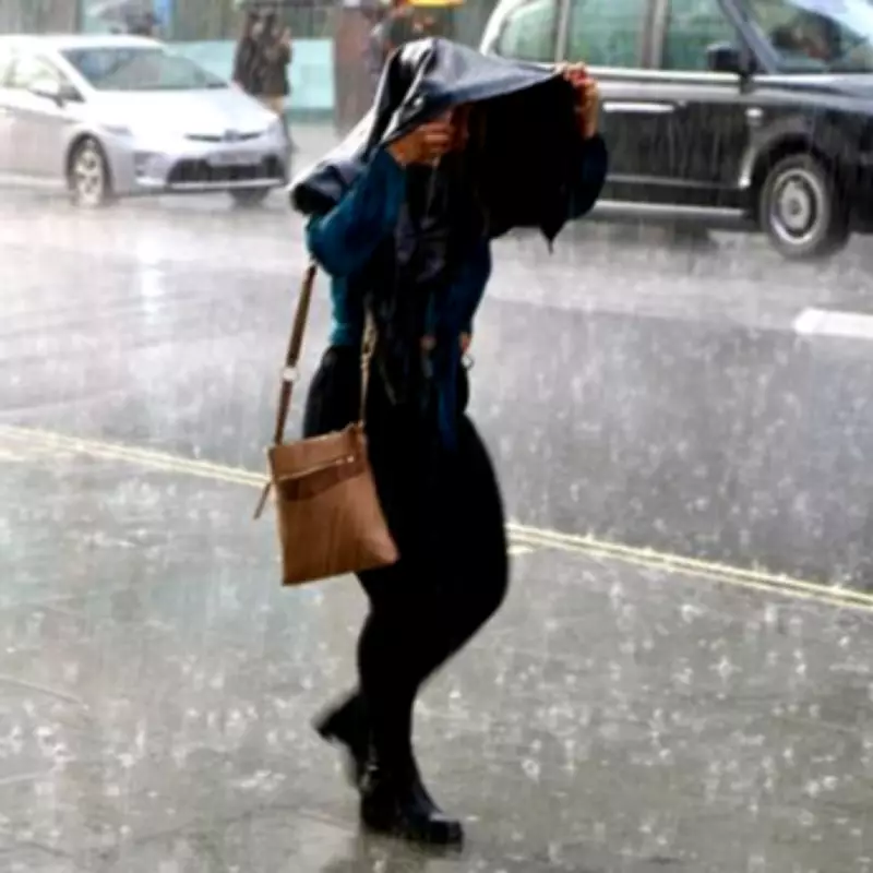
Britons across the country are being urged to take immediate action as flood warnings have been issued in four critical areas. The Met Office has forecast significant rainfall, with up to 8mm per hour expected in some regions, prompting government officials to advise residents to prepare emergency kits without delay.
Heavy Rainfall Forecast Across Multiple Regions
Weather maps from the Met Office indicate that bands of heavy rain will sweep across the UK later today. Herefordshire and other parts of the West Midlands are expected to experience intense downpours around 3:45pm. Additionally, Norfolk, the South East, Powys, Greater Manchester, Merseyside, and Lincolnshire will face similar conditions during the same timeframe.
This wet spell follows a period of unseasonably warm weather last week, when temperatures in Wales reached 20.9°C on March 18. The sudden shift to colder, wetter conditions marks a dramatic change in the UK's weather pattern.

Official Warnings and Emergency Preparedness
In response to the forecast, government officials have issued four specific flood warnings. These include groundwater flooding for the South Winterbourne Valley, the Till, and the Bourne Valley - The Winterbournes, as well as river flooding at the River Ure at Boroughbridge Camping and Caravanning Site.
Residents in at-risk areas are strongly encouraged to assemble a "grab bag" containing essential items. This should include medication, insurance documents, a torch, and warm clothing to ensure safety during potential flooding events.
Expert Analysis from the Met Office
Steven Keates, Deputy Chief Forecaster at the Met Office, provided detailed insight into the evolving weather situation. "After a spell of mild and brighter weather, the UK will turn increasingly unsettled in the coming days," he stated. "A series of weather fronts will bring periods of rain, strong winds and much colder air by midweek. Wednesday could be quite a shock to the system."
Keates further explained that temperatures will range between 6°C and 10°C, but will feel closer to low single figures due to wind chill. Wintry showers are likely, particularly over higher ground in the north, with widespread frost and icy patches possible on Wednesday night. Conditions are expected to become milder again by the end of the week, with another spell of rain forecast for Friday.
Long-Range Weather Outlook
The Met Office's extended forecast for March 29 to April 7 predicts a broadly changeable pattern continuing across the UK. "Weather fronts are likely to be more active across northern areas, meaning the wettest and windiest conditions are more likely here," the forecast states. "As they come south, often running into a ridge of higher pressure extending from the southwest, fronts will generally weaken and rainfall amounts will be smaller."
This area of high pressure is expected to become increasingly dominant through the period, potentially leading to more settled conditions across the country. Temperatures during this time will likely be close to average overall, with overnight frost possible where skies are clear and winds are light.
The combination of heavy rainfall, changing weather patterns, and specific flood warnings underscores the importance of immediate preparedness for residents in affected areas. Staying informed through official channels and having emergency supplies ready remains crucial during this period of heightened weather activity.


