
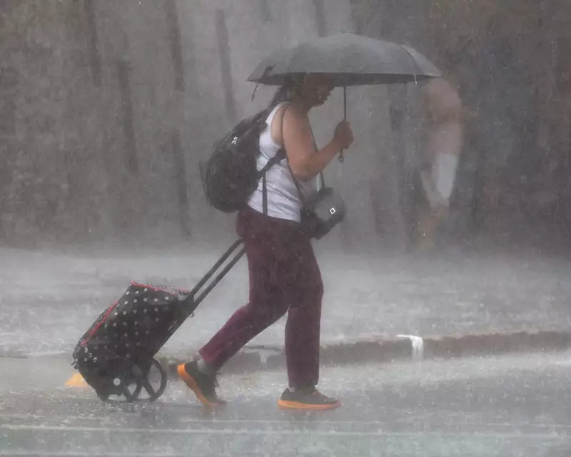
The Australian state of Queensland is on high alert as meteorologists warn of a prolonged and intense deluge set to batter its northern regions. The Bureau of Meteorology (BoM) has issued severe weather and flood warnings, with some areas forecast to receive a staggering up to 500mm of rainfall over the coming week.
Severe Weather System Intensifies Over Gulf and Coast
A broad and almost stationary weather system is driving the extreme conditions. BoM senior meteorologist Andrea Peace confirmed the system is gradually intensifying and will impact Queensland for at least the next three to four days. Parts of the Gulf Country, including Mount Isa, have already seen between 30mm and 80mm in the past day, with isolated falls reaching 120mm.
The same regions are bracing for further heavy rain, with up to 100mm expected on Sunday alone. "We are expecting to pick up a lot more rainfall through that region in the coming days," Peace stated. She added that seeing totals in excess of 500mm broadly across the region this week is not out of the question.

Flood Warnings Activated and Livestock at Risk
The BoM has issued a moderate flood warning for the town of Winton, with the Diamantina River expected to flood. A longer-term major flood warning is also active for Walkers Bend for the Flinders and Cloncurry catchments, with flooding expected in Cloncurry today.
Authorities have expressed serious concern for livestock, drawing comparisons to the devastating 2019 Townsville floods. Queensland police minister Dan Purdie said the state disaster coordinator has been preparing, with plans to airdrop fodder to stranded animals if roads are cut off. "The biggest concern in north-west Queensland is livestock and fodder," Purdie emphasised.
Second System Threatens Coastal Communities
A second weather system is poised to bring heavy rain to the coastal areas around Townsville and Cairns, which have already recorded about 100mm in the past 24 hours. Peace warned the region is likely to see an additional 60 to 80mm today, with isolated pockets receiving up to 200mm.
The intensity is forecast to increase on Monday, with totals of 70 to 120mm and some areas potentially seeing 300mm or more. The BoM's flood team is monitoring the situation closely, with warnings likely for areas north of Townsville, including the Bohle River.
The wild weather is being fuelled by a combination of a monsoon trough inland and a monsoon low offshore, both exacerbated by very high sea surface temperatures. Andrea Peace indicated the rain is likely to continue all week before slackening off later in the week.


