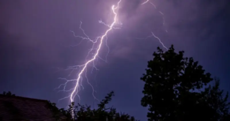
The Met Office has issued a new yellow weather warning for thunderstorms today, placing 18 areas across England at risk of power cuts and travel disruption. The warning comes as forecasters predict sudden downpours, lightning strikes, and potential flooding.
Areas Affected by the Warning
The warning covers a broad swath of England, including parts of the Midlands, South East, and East of England. Among the areas at risk are London, Birmingham, Manchester, Leeds, and Sheffield, as well as rural regions where infrastructure may be more vulnerable. According to the Met Office, the thunderstorms could lead to power cuts due to lightning damage to power lines and equipment.
Potential Impacts and Advice
The Met Office has warned that heavy rain and hail may cause sudden flooding of roads and homes, making travel conditions hazardous. Drivers are advised to avoid routes prone to flooding and to reduce speed. The public should secure loose outdoor items and be prepared for possible power interruptions. The warning is in effect from late morning until early evening.

“Thunderstorms are expected to develop quickly, bringing frequent lightning, gusty winds, and up to 30mm of rain in under an hour,” a Met Office spokesperson said. “There is a chance of power cuts and disruption to services.”
Background and Recent Weather
This warning follows a period of unsettled weather across the UK, with previous warnings for rain and thunderstorms earlier in the week. Temperatures have been fluctuating, with a recent heatwave giving way to cooler conditions. The Met Office continues to monitor the situation and may update the warning as needed.