Two millennia after the Roman Empire's dominance, modern technology has brought one of its most enduring legacies back to life in stunning detail. A groundbreaking interactive map now allows history enthusiasts and scholars alike to explore the vast network of roads that connected the ancient world from the Scottish borders to the Middle East.
The Digital Resurrection of Ancient Highways
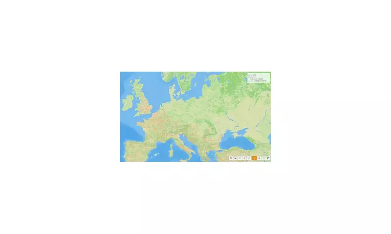
This remarkable digital recreation charts approximately 125,000 kilometres of Roman roads that once formed the backbone of the empire's military, economic and cultural expansion. The map reveals how these ancient highways stretched across three continents, connecting remote British outposts with the heart of the Mediterranean and beyond.
More Than Just Dirt Paths
Contrary to popular belief, Roman roads were engineering marvels far beyond simple dirt tracks. The empire's engineers constructed sophisticated multi-layered highways featuring:

- Precisely engineered foundations with deep trenches filled with sand or rocky material
- Multiple layers of stones and gravel compacted to create durable surfaces
- Strategic cambering for efficient water drainage
- Curved surfaces that prevented flooding and erosion
These construction techniques were so advanced that many Roman road foundations remain intact today, with some modern roads still following their original routes.
Britain's Roman Infrastructure
The map provides particular fascination for British history enthusiasts, revealing how Roman engineering transformed ancient Britain. Key routes visible on the interactive display include:
- Watling Street: Connecting the channel ports to London and continuing north to Wroxeter
- Ermine Street: The vital route from London to York and the northern frontiers
- The Fosse Way: Connecting Exeter to Lincoln across the Midlands
- Dere Street: The military highway stretching from York to the Scottish borders
A Network That Shaped History
These roads weren't merely transportation routes—they were instruments of empire that enabled rapid military deployment, facilitated trade across conquered territories, and spread Roman culture, language and governance. The famous phrase "all roads lead to Rome" finds literal truth in this digital recreation, demonstrating how the empire's infrastructure radiated from the capital to its farthest frontiers.
The interactive map serves as both an educational tool and a fascinating window into ancient engineering prowess, allowing users to trace the routes that legions marched, merchants travelled and ideas spread across the classical world.