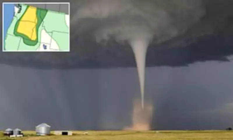
Over a million Americans have been warned that they may witness a rare tornado touchdown in just hours as a major storm moves over the West Coast. The National Weather Service (NWS) has alerted residents in Washington, Oregon, and Idaho to be in the risk zone for tornado activity starting Thursday afternoon local time and lasting throughout the night.
Major Cities Under Threat
Major cities, including Spokane and Yakima in Washington state, Boise in Idaho, and Bend in Oregon, have been warned of severe thunderstorms, damaging winds, and large hail that could persist into early Friday morning. Communities such as Bend, Oregon; Kennewick, Richland, and Pasco in Washington; and Lewiston, Idaho are considered the most likely locations for a tornado to form, though the NWS has described the overall chance as 'slight.'
Potential Impact and Wind Speeds
Meteorologists estimate that more than two million people lie in the path of the most severe weather, including hailstones capable of shattering glass, damaging vehicles, or injuring those caught outdoors. Over 900,000 individuals are believed to be in the zone most susceptible to a supercell—a rare and intense thunderstorm that can produce tornadoes capable of toppling trees or tearing apart roofs. Severe wind gusts are predicted to reach up to 85 mph, equating to the strength of a Category 1 hurricane.

It is extremely uncommon for a tornado to touch down in the Pacific Northwest, with both Oregon and Washington typically seeing only one to three twisters per year. Tornadoes are violently rotating columns of air that descend to the ground, varying in strength and destructiveness from minor roof damage to complete destruction of well-built homes and flipped cars. They are measured on the Enhanced Fujita scale, ranging from EF0 (winds under 85 mph) to EF5 (exceeding 200 mph). The NWS forecast suggests that Thursday's winds will be between 60 and 85 mph, indicating that any tornado would likely be smaller and less life-threatening.
Meteorological Conditions
The storm is fueled by a low-pressure system high in the atmosphere over central California, with bands of rising air on its northern side promoting thunderstorm development. Near the surface, a deepening trough is expected to move from eastern Oregon into southern Washington, acting as an air pressure highway that helps thunderstorms develop and align along the trough, especially as the air heats up during the afternoon when storms are expected to commence.
In their official alert, the NWS stated: 'Scattered severe thunderstorms are possible over western Idaho and east of the Cascades in Washington and Oregon. Severe gusts (60-85 mph), large hail, and perhaps a tornado are the forecast hazards this afternoon through the late evening.' Parts of northern Nevada and western Montana are also expected to be in the path of severe winds, adding another 500,000 people to the impact zone.