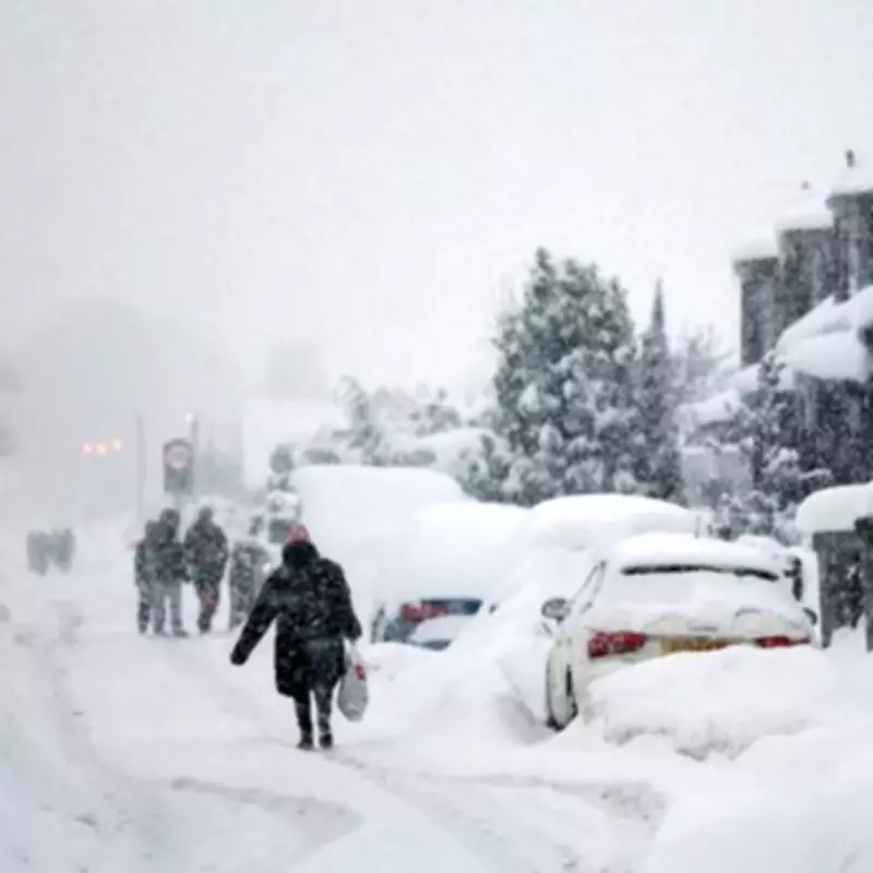
The Met Office has issued a detailed weather warning for Wednesday, predicting snowfall in specific regions and a sharp temperature drop that could see mercury levels fall as low as -5C. This cold snap is expected to bring a wintry mix of rain, sleet, and hail across many areas, with snow likely over higher ground in the north.
Chilly Conditions and Wintry Showers Expected
According to the national weather agency, Wednesday will feel "markedly colder" across all parts of the UK, a shift that Met Office Deputy Chief Forecaster Steven Keates described as potentially "quite a shock to the system." The BBC forecast aligns with this, noting that the day will be chilly and windy with sunny spells and showers, which will turn wintry over hills.
Although low-lying regions may experience some sunshine, the Met Office warns that wind chill will make conditions feel particularly cold. As evening approaches, temperatures are set to fall again, with rural Scotland potentially seeing overnight lows of -5C.

Regional Impacts and Further Outlook
The Met Office specifies that snow is most probable over higher ground in the northern areas, while rain, sleet, and hail showers could occur widely. Looking ahead to Thursday, most places should remain dry with sunny spells, though cloud and rain may push into Northern Ireland and western parts later in the day.
Temperatures are forecast to return closer to average from Friday onwards. However, the weekend could bring changeable conditions as frontal systems move across the UK, potentially bringing rain and stronger winds, especially affecting northern regions.
The extended forecast for March 28 to April 6 indicates that weather fronts will likely be more active in the north, leading to wetter and windier conditions there. As these systems move south, they may weaken due to higher pressure from the southwest, resulting in smaller rainfall amounts. Overall, temperatures during this period are expected to be close to average, with possible overnight frost in areas with clear skies and light winds.