The Met Office is forecasting heavy rain on Saturday and Sunday, covering most parts of the country after weeks of sunshine. No weather warnings are in place, but millions face downpours that could disrupt outdoor plans.
Rain timeline and affected regions
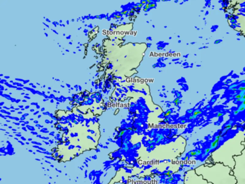
A band of rain is expected to hit Scotland’s north west coast in the early hours of Saturday and move slowly southwards. By 7am on Saturday, rain will start moving south east from Northern Ireland and Scotland. At 10am, the most northerly parts of England will see rain, and by early afternoon, north west England and north Wales will feel damp, followed by Yorkshire later.
The eight regions facing heavy rainfall are: Scotland, Wales, Northern Ireland, north west England, south west England, north east England, Yorkshire and the Humber, and the Midlands. East Anglia and central England are also included. London and the south east will be spared heavy downpours but will see scattered showers.
Sunday's forecast and peak rainfall
England and Wales will largely have a dry Saturday night, but Northern Ireland and Scotland will see another band of rain moving quickly in the early hours of Sunday. By 7am on Sunday, swathes of Wales, north west England, Yorkshire, and the Midlands will wake up to rain. The same areas will still be wet as rain hits the south west at 10am.
The rain will be at its worst around 1pm on Sunday, when most of the country is covered with clouds. Showers will stop for most by 10pm, but the heaviest downpours hit East Yorkshire near Hull, with 16-32mm of rain forecast. Temperatures will remain relatively cool, with highs of 23°C on Saturday and 20°C on Sunday.