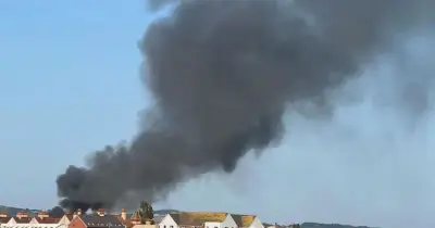
Weather forecasting maps indicate that another scorching heatwave could be just days away, with temperatures potentially reaching 38C in parts of the UK. This follows the hottest day of the year so far and the hottest June day on record, when 37.3C was recorded in Santon Downham. The Met Office had issued rare red weather warnings for extreme heat in England, and the heatwave also brought thunderstorms and lightning, causing significant damage to buildings in some areas.
Cooling Down Before the Next Surge
The Met Office’s latest forecast suggests that peak temperatures will finally drop back below 30C tomorrow. However, the respite may be short-lived, as the GFS weather model suggests a four-day heatwave could begin on July 8.
Forecast for July 8-11
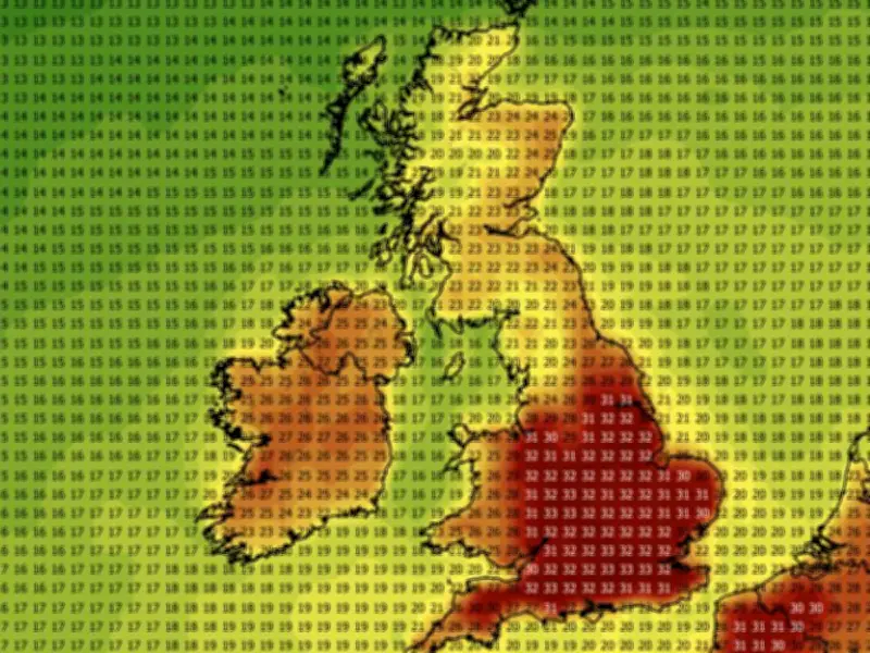
According to the GFS model, July 8 will see highs of 30C to 33C across central and southern England, with the warmest temperatures in western areas and the south-east. On July 9, temperatures could rise to 36C near London, with 35C widely across southern and eastern England, and parts of Wales reaching 30C.

Scorching 38C highs are expected on July 10, particularly in western England and the south, with most of England and Wales peaking above 30C. On July 11, temperatures could again reach 38C in the north-west, Midlands, Yorkshire, and south-east, with areas as far north as the England-Scotland border seeing 30C or more.
Counties at Risk of 38C
The GFS model shows 17 English counties could reach 38C or more: Yorkshire, Cheshire, Staffordshire, Derbyshire, Leicestershire, Warwickshire, Northamptonshire, Shropshire, Gloucestershire, Worcestershire, Wiltshire, Berkshire, Oxfordshire, Buckinghamshire, Surrey, Sussex, and Kent. Temperature anomaly maps show the UK shaded in deep red, particularly England, indicating temperatures well above the seasonal average.
Met Office Outlook
The Met Office’s forecast for July 11 to 25 states: “High pressure patterns are looking slightly more likely than low pressure patterns during the early part of this period, meaning a greater chance of settled and drier than average conditions. Although with outbreaks of rain and stronger winds at times, more especially across the north. There is still a chance of some changeable or more unsettled conditions developing later in the period, with a risk of some heavy and thundery showers. Temperatures are likely to be above normal on the whole, with a greater than normal chance of hot conditions developing at times.”