The UK is bracing for another surge of extreme heat, with weather maps turning red once again as 32 counties are forecast to experience temperatures of 30C or more in the coming days. According to the latest projections from WX Charts, the hottest conditions will arrive on Tuesday, July 7 and Wednesday, July 8, with the mercury expected to hit 36C in London at 6pm on July 8. Several other areas are predicted to see highs of 33C or higher.
Record-Breaking Heat Continues
This latest hot spell follows a week of scorching weather that saw the UK break its maximum temperature record for a third consecutive day on Friday, June 26. A temperature of 37.3C was recorded at Santon Downham in Suffolk, surpassing the previous record of 35.6C set in 1957 and 1976. The Met Office described the conditions as "unprecedented for June" and noted that the heat is "another marker on how climate change is shifting the dial on temperature extremes in the UK."
The Met Office had already extended an amber extreme heat warning into Sunday morning, June 28, covering 31 areas. The forecaster expects warm and dry weather to persist into Sunday before a slight drop in temperatures on Monday, though conditions will remain dry with light winds making it more pleasant.

Widespread Heat Across 32 Counties
On July 7, WX Charts shows temperatures reaching 34C in London at 6pm, with many other areas hitting 33C. The following day, the capital could peak at 36C. The counties forecast to see 30C or more on either July 7 or July 8 include: Devon, Somerset, Wiltshire, Dorset, Gloucestershire, Hampshire, Surrey, Sussex, Kent, London, Berkshire, Essex, Hertfordshire, Bedfordshire, Buckinghamshire, Oxfordshire, Herefordshire, Shropshire, Worcestershire, Warwickshire, Leicestershire, Derbyshire, Nottinghamshire, Cambridgeshire, Suffolk, Norfolk, Lincolnshire, Yorkshire, Lancashire, Carmarthenshire, Monmouthshire, and Powys.
Met Office Long-Range Forecast
The Met Office's long-range forecast for July 2 to July 11 indicates widespread dry and sunny conditions, with temperatures "slightly warmer than average in the south." The forecast states: "A drier start to July for most. Cloudier towards the west, otherwise a good deal of sunshine for most. Some northwestern parts may still see rain on occasion, perhaps accompanied by strong winds at times." It adds: "Temperatures are likely to start off near average in the north and slightly warmer than average in the south, but fairly widely tending to increase further as high pressure dominates the weather into the second week of July, especially across England and Wales."
Impact and Advice
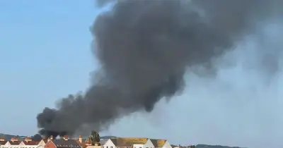
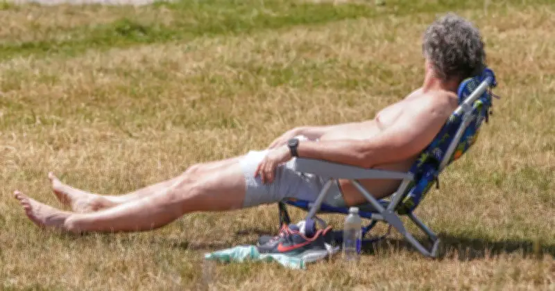
With the extreme heat expected to persist, the Met Office has urged people to take precautions, including staying hydrated, avoiding the sun during peak hours, and checking on vulnerable individuals. The extended amber warning highlights the risk of health impacts, travel disruption, and increased fire danger. As climate change continues to drive more frequent and intense heatwaves, officials emphasize the need for preparedness.