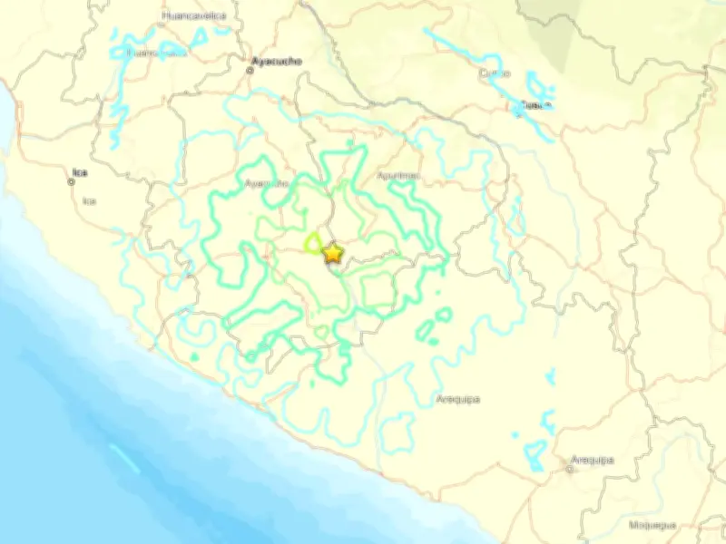
Peru was struck by a magnitude 6.7 earthquake on Thursday, which triggered landslides in the southern Andes Mountains, according to the US Geological Survey (USGS).
Earthquake Details and Location
The quake occurred at 1pm local time (6pm UK time) and was centred 38km (24 miles) northwest of the city of Upahuacho, in the Parinacochas province of the Ayacucho region. It had a depth of 66.7km.
The earthquake was felt in several regions of southern Peru, including Ayacucho, Ica and Arequipa.

Landslides and Public Response
The quake reportedly led to landslides in the area. Footage shared on social media showed locals in the streets looking up at debris falling down nearby mountainsides.
No immediate reports of damage or injuries were made, and no tsunami warning has been issued.
Seismic Context
Earthquakes are frequent in Peru, which is part of the Pacific "Ring of Fire," an area of frequent seismic activity. In 2007, a magnitude 7.9 earthquake in a province of the Ica region left nearly 600 people dead.