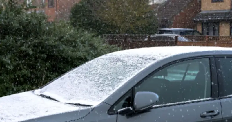
The Met Office has identified 13 areas across the UK that could experience hail and thunder on Wednesday, as unsettled weather persists before a warmer weekend arrives.
Unsettled Conditions Ahead
According to the forecaster, a "continued risk of hail and thunder" will affect nearly a dozen regions on Wednesday. The week will see a mix of brighter intervals and frequent showers, with some heavy downpours and a chance of hail and thunder. Thursday is expected to bring more widespread wet and windy weather.
Forecast Details
Met Office meteorologist Clare Nasir explained: "Through Wednesday, we start with some showers. There will be some dry spells in eastern Scotland and southeast England, with brighter weather. But showers will again move from the west, developing as the sun strengthens. They could be heavy with a risk of thunder, and temperatures typically in the mid-teens, high teens further south."

Netweather.tv's Jo Farror added: "Wednesday will be another showery day with hefty downpours and bright spells. Showers will ease from the west as a new low pressure approaches. Thursday looks wet as a low pressure brings proper rain across the UK, turning wet and windy before clearing northeast Scotland by evening. High pressure will build from the south for the end of the week."
Full List of Affected Areas
- Birmingham
- Newcastle upon Tyne
- York
- Manchester
- Leeds
- Liverpool
- Leicester
- Derby
- Nottingham
- Norwich
- Cambridge
- Peterborough
- Ipswich
Residents in these areas should be prepared for sudden downpours, hail, and thunder on Wednesday, with conditions improving towards the weekend.