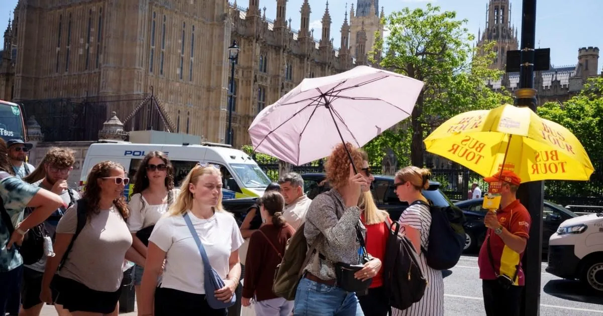
The Met Office has issued a warning that this summer could be exceptionally hot, with an increased risk of heatwaves. In its three-month outlook published on June 1, the forecaster said the chance of a hot summer is 'higher than normal' and warned of potential 'heat-related impacts'.
This follows a record-breaking May, which saw the hottest May day on record when temperatures reached 34.8°C at Kew Gardens in southwest London on May 25. The UK also experienced the warmest May night on record during a week-long heatwave that began over the late May bank holiday.
For the next three months, the Met Office predicts that temperatures are likely to be twice as hot as the reference period of 1991-2020. The main drivers cited are global warming and El Niño, a natural weather phenomenon that can push up temperatures. The Met Office stated: 'An increased chance of hot conditions implies a greater-than-normal chance of heatwaves.'

However, the outlook also notes a higher chance of a wet season, though 'near average rainfall remains the most likely outcome'. For the upcoming weekend, rain is expected to move north-eastwards across the UK on Saturday, followed by some sunshine later, but further showers and longer spells of rain are predicted.
Over the next two weeks, the northwest is expected to experience the wettest conditions. In the second half of June, weather conditions are predicted to be drier with temperatures 'above normal', but heavy showers and thunderstorms are forecast for the south, where it may 'become hot'.