The Met Office has issued a new extreme heatwave warning as UK waters could reach severe levels next week, with temperatures forecast to hit 39C in parts of South East England. The prolonged marine heatwave affecting UK waters throughout much of 2026 is set to escalate, with surface waters in north-west European seas currently experiencing moderate to severe conditions.
Current Marine Heatwave Conditions
According to the Met Office, numerous areas are classified as strong and some as severe, indicating waters have climbed to temperatures typically anticipated in August, averaging 2C above normal. In some areas of the English and Welsh coastlines, temperatures have climbed more than 4-5C above average. The English Channel has been experiencing marine heatwave conditions for much of 2026, making this area especially vulnerable to additional warming.
Forecast for Next Week
Following a short cooler period, forecasters indicate conditions will warm up again next week. Net Weather maps show the extreme highs peaking on Thursday, July 9, with London expected to reach 39C. Nearby Berkshire is also forecast for 39C, while Hertfordshire could climb to 38C. The sea surface will have little chance to cool down after last week's heatwave, raising the likelihood that the ongoing marine heatwave could reach an extreme classification – a level rarely seen in UK waters, according to the Met Office.

Expert Comments on Impacts
Dr Segolene Berthou, air-sea interaction specialist at the Met Office, said: "Such conditions would be highly unusual for UK waters. Marine heatwaves around the UK have developed rapidly following the recent heat dome, and we are now seeing widespread strong to locally severe conditions. With further sunny and calm weather likely next week, there will be little opportunity for the ocean to release this excess heat."
John K Pinnegar, principal scientist and lead advisor for climate change at the Government's Centre for Environment, Fisheries and Aquaculture Science, said: "Marine heatwaves can have significant impacts on ecosystems and wildlife. Prolonged periods of unusually warm sea temperatures can lead to shifts in fish populations, damage important habitats such as seagrass and kelp, and increase the likelihood of harmful algal blooms. These changes can result in mass-mortality events for some marine species and alter the distribution of commercially-important fish and shellfish."
Wider Climate Context
Earlier this week, the EU's Copernicus Climate Change Service and the Copernicus Marine Service confirmed that global sea surface temperatures have exceeded previous records for this time of year, set in 2023 and 2024. These new seasonal peaks followed the emergence of the El Nino weather phenomenon, which sees warming sea surface temperatures in the tropical Pacific Ocean drive up global temperatures. El Nino conditions were formally declared by the UN's World Meteorological Organisation last month, coinciding with above-average surface sea temperatures recorded across numerous ocean regions.
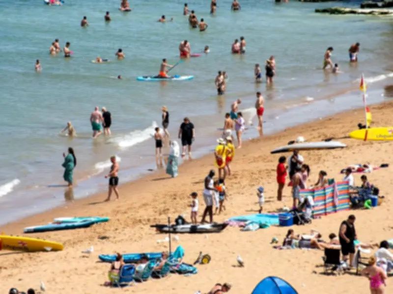
Public Safety Advice
Despite the warmer than average sea temperatures, the Met Office cautions about the dangers of cold water shock. Holly Clements, Met Office head of warnings and guidance, said: "With warmer weather approaching, and even with marine heatwave conditions, it's important to remember that the water around the UK is still cold. Entering it unexpectedly can lead to cold-water shock." The Met Office advises swimmers to opt for RNLI lifeguarded beaches, stay between the red and yellow flags, and dial 999 for the coastguard in an emergency.