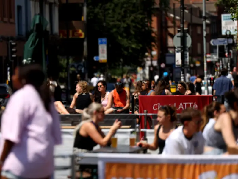
The Met Office says conditions are set to remain changeable in Greater Manchester. Temperatures have dropped and rain has finally fallen across parts of the UK over the past few days, marking an end to a prolonged spell of dry weather for most of the country.
Brief hot spell expected
After a brief respite from the dry conditions, temperatures are forecast to rise again from Tuesday, with much of England, Wales and eastern Scotland seeing a dry day with sunny conditions. The Met Office says this will mark the beginning of a warm, but relatively short-lived, spell of hot weather, which has triggered the UK Health Security Agency (UKHSA) to issue heat-health alerts in parts of England.
Amber heat-health alerts are in force across East Midlands, East of England, London and South East, while less severe yellow warnings have been issued for the South West, West Midlands and Yorkshire and The Humber. The alerts will remain in place for 24 hours from 9am on Wednesday, being lifted at 9am on Thursday.
Temperatures to reach 35C in southeast
During this brief spell of hot weather, the Met Office has said that maximum temperatures of 35C are possible across southeastern England. Thursday will then see the beginning of a gradual transition to cooler conditions for much of the UK, with the southeast expected to hold onto the heat for a little longer, with another hot day and temperatures widely around 29C.
Met Office Deputy Chief Forecaster Gregory Wolverson said: “This is a short-lived spell of heat, but temperatures will climb quickly through the first half of the week, particularly in the southeast. By Wednesday, some areas could see temperatures in the mid-30Cs, and while the heat will not be widespread across the whole of the UK, it will be enough for parts of the southeast to likely meet official heatwave criteria by Thursday. Elsewhere, the weather will be more changeable, and the change to cooler, more unsettled conditions will arrive sooner from the north and west, with a mix of sunshine and showers. Across northern areas, it is possible there will be heavier showers with a small risk of isolated thunderstorms through the week.”
Outlook for Greater Manchester and north west England
Explaining what could happen in Greater Manchester and north west England, the Met Office forecast says: "While the southeast could see temperatures climb quickly through the first half of the week, areas further north and west will see a more changeable pattern." And looking ahead, the Met Office said that north west England is set to remain 'more changeable', with 'rain or drizzle at times'.
In the long-range forecast, which covers the period between August 1 and 10, the Met Office says: "Mostly dry away from the north and northwest initially, where scattered showers are expected. There is a small chance that some other western parts could see some rain by the end of the weekend. Temperatures ranging from around average in the NW to warm in the southeast, perhaps becoming very warm in the southeast through the weekend."