
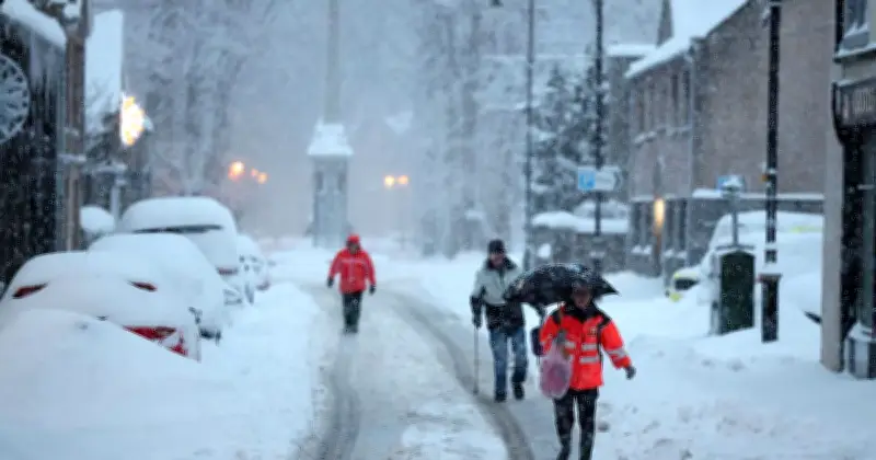
Cold weather is set to affect parts of the UK, with the latest weather maps indicating the date on which blizzard conditions could sweep across the country. The maps generated by WXCharts show the freezing weather will begin to impact the country on October 12.
According to the weather maps, a few areas in Scotland will be peppered with snow, while other parts of the country are likely to witness rainy conditions. The maps suggest that areas around Inverness will see some snow on the ground. Areas closer to Manchester, Leeds, Liverpool and Yorkshire will be drenched in the rain, the maps suggest.
Forecasters Warn of Bitterly Cold Winter
Forecasters are warning that a wet and unsettled autumn could give way to a bitterly cold winter after the so-called “super El Niño” shattered previous records to become the strongest event ever observed, dramatically influencing weather patterns around the world.
The Met Office said the unprecedented weather event, which has already contributed to record-breaking global temperatures and the hottest summer ever recorded, is expected to continue influencing weather patterns around the world. Forecasters warned that the powerful “super El Niño” could have far-reaching effects on climate conditions in the months ahead, with impacts expected to be felt across multiple regions.
Understanding El Niño’s Impact
El Niño is a naturally occurring climate pattern that forms in the tropical Pacific Ocean when sea temperatures in the central and eastern parts of the ocean become much warmer than normal. This increase in ocean temperatures can disrupt global weather systems, affecting rainfall, temperatures and storm activity in many parts of the world. As a result, some regions may experience heavier rain and flooding, while others face droughts, heatwaves or other unusual weather conditions.
The Met Office’s long-range forecast between October 3 and 12 reads: “High pressure will likely be in place across much of central and southern UK through the first few days of this period.
“This means plenty of dry weather to be had, albeit with some chilly nights and overnight and morning fog in places.
“In the north, a rather more changeable pattern will continue, with occasional rain and often breezier conditions.
“Towards the end of this period, high pressure may have declined somewhat, allowing lower pressure to become rather more dominant, this probably centred somewhere to the west or south of the UK, though its proximity to the UK is more uncertain.
“However, there is a chance of some rain developing across parts of the south by mid-month. Overall, temperatures remaining above average overall.”




