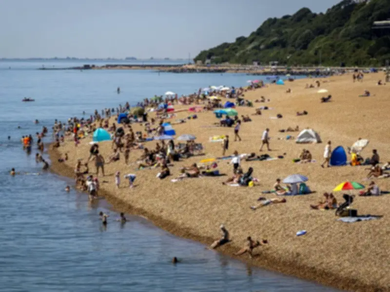
A 30C Iberian plume is set to deliver one final summer sizzler to 14 UK areas this weekend, with weather maps turning bright red as hot air sweeps up from Spain and Portugal. The blast of late heat follows the record-smashing summer of 2026.
According to the latest GFS weather model, temperatures are expected to soar into the high 20s across southern and eastern England. If the sun breaks through, inland areas could even flirt with a staggering 30C. Met Office forecasts show temperatures peaking at 26C to 28C in the south-east on Sunday.
14 areas in the firing line
A total of 14 areas are in line for the hottest readings. Sunseekers in Greater London, Berkshire, Oxfordshire, Cambridgeshire, Northamptonshire, Warwickshire, Gloucestershire, Worcestershire and surrounding counties should get ready for a last-minute scorcher. Inland spots shielded from coastal breezes stand the best chance of basking in the highest temperatures, sending Brits flocking to parks, gardens and pub beer gardens.

An Iberian - or Spanish - plume kicks off when scorching air is dragged up from southern Europe. Mixed with strong early-autumn sunshine, it creates sudden blasts of high heat, occasionally triggering thundery breakdowns.
Sunday set to be the standout day
While the heat blast isn't as extreme as the blistering alerts earlier in the summer, it will easily smash early-September averages, reports the Express. Maps for mid-September show the south and east staying well above average, while continental Europe remains locked in the deep red.
Sunday is set to be the standout day of the weekend. Following a bright and breezy Saturday, cloud and patchy rain will linger in northern and western regions, but the south and south-east will bake under wall-to-wall sunshine once early clouds clear. London, the Home Counties, East Anglia and parts of the Midlands will grab the lion's share of the heat. Coastal areas will feel slightly cooler thanks to sea breezes, but sheltered inland valleys could see temperatures nudge even higher.
Further north and west, the warm spell will feel far more muted, with highs capping out near the low 20s alongside an increased threat of showers.
No official heat warnings in place
Unlike the amber and red heat alerts that dominated earlier months, the Met Office currently has no official heat warnings in place. Instead, yellow weather warnings for heavy rain and high winds look far more likely later next week as wild Atlantic weather systems return. That unsettled pattern will bring the brief heatwave to a sharp, crashing halt, plunging temperatures back down toward normal autumn levels with strong gales possible.
The Met Office advises Brits to stay hydrated, seek shade during peak sun hours if sensitive to heat and double-check local forecasts before booking outdoor plans. With the jet stream roaring back to life by mid-week, the Spanish sizzler won't stick around for long.
The 14 hottest areas are London, Reading, Bristol, Oxford, St Albans, Cambridge, Northampton, Stratford-upon-Avon, Coventry, Huntingdon, Gloucester, Worcester, Ely and Peterborough.