
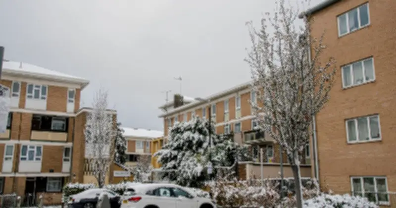
A weather expert has pinpointed when the UK could see its first snow of the autumn season. Jim Dale, founder and senior meteorological consultant at British Weather Services (BWS), said the first flurries are likely to appear on Scottish mountain tops around October 12.
Speaking to the Daily Express, Dale said temperatures are not expected to drop to 5C or below until later next month. He noted that no significant cold spell is likely before mid-October, with mild conditions continuing at times.
Warm seas delay colder spell
Dale explained that warmer-than-normal seas around the UK, linked to climate change, could delay the need for winter clothing. He said: "Seas around UK are warmer than normal due to climate change, so and apart from any freak northerly blast, most of us may be in for a lengthy wait for anything requiring gloves, scarves, et cetera."
He added: "Warmth in and out until mid-October, in my opinion." Even if snow were to fall further south, Dale said it would not last because land and ocean temperatures remain too high.
Snow likely limited to Scotland
Dale said the first snow will always appear on the mountain tops of Scotland, with one set of charts suggesting October 12 for that event. He added: "Look to November, unless we see a freak event, and even then don’t expect the south to be involved. Snow in November has become an uncommon event."
The Met Office’s long-range forecast for October 12-26 says high pressure and more settled conditions early in the period may give way to a more changeable pattern towards mid-October. This could bring a greater chance of wet and windy conditions at times, but with drier and more settled spells still possible. Temperatures are likely to be above average for the period as a whole.




